

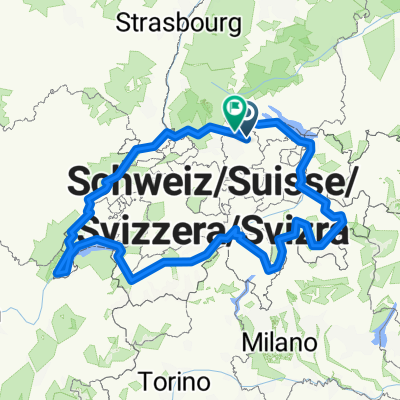
W'thur > Ottikon > W'thur (Feierabend-Workout-Route)
A cycling route starting in Stadt Winterthur (Kreis 1) / Altstadt, Canton of Zurich, Switzerland.
Overview
About this route
Gute Route für ein kurzes Training oder Feierabend-Workout, geeignet für Jedermann, der auf offenen Schnellstrassen sicher unterwegs ist - Routenprofil bietet einen ordentlichen (steilen) sowie einige kurze Anstiege, dazu ne schnelle Abfahrt und einige längere Geraden in der Ebene...durchgehend guter Asphalt, eignet sich bestens für Rennräder...für untrainierte Radfahrer problemlos in einer Stunde machbar (Bedingung ist natürlich gute körperliche Fitness und Ausdauer)
- -:--
- Duration
- 21.5 km
- Distance
- 329 m
- Ascent
- 329 m
- Descent
- ---
- Avg. speed
- ---
- Max. altitude
Route quality
Waytypes & surfaces along the route
Waytypes
Road
6.7 km
(31 %)
Path
3.9 km
(18 %)
Surfaces
Paved
21.3 km
(99 %)
Asphalt
21.3 km
(99 %)
Undefined
0.2 km
(1 %)
Continue with Bikemap
Use, edit, or download this cycling route
You would like to ride W'thur > Ottikon > W'thur (Feierabend-Workout-Route) or customize it for your own trip? Here is what you can do with this Bikemap route:
Free features
- Save this route as favorite or in collections
- Copy & plan your own version of this route
- Sync your route with Garmin or Wahoo
Premium features
Free trial for 3 days, or one-time payment. More about Bikemap Premium.
- Navigate this route on iOS & Android
- Export a GPX / KML file of this route
- Create your custom printout (try it for free)
- Download this route for offline navigation
Discover more Premium features.
Get Bikemap PremiumFrom our community
Other popular routes starting in Stadt Winterthur (Kreis 1) / Altstadt
 Büblikon - St. Moritz - Venedig - Mendrisio
- Distance
- 806 km
- Ascent
- 4,165 m
- Descent
- 4,614 m
- Location
- Stadt Winterthur (Kreis 1) / Altstadt, Canton of Zurich, Switzerland
 Winti nach Töss Wasserfall Buri
- Distance
- 33.7 km
- Ascent
- 520 m
- Descent
- 206 m
- Location
- Stadt Winterthur (Kreis 1) / Altstadt, Canton of Zurich, Switzerland
 W'thur-WK
- Distance
- 27.2 km
- Ascent
- 330 m
- Descent
- 263 m
- Location
- Stadt Winterthur (Kreis 1) / Altstadt, Canton of Zurich, Switzerland
 winti Zürich
- Distance
- 26.4 km
- Ascent
- 324 m
- Descent
- 354 m
- Location
- Stadt Winterthur (Kreis 1) / Altstadt, Canton of Zurich, Switzerland
 Von Winterthur bis Freienstein-Teufen
- Distance
- 1,352.9 km
- Ascent
- 27,757 m
- Descent
- 27,838 m
- Location
- Stadt Winterthur (Kreis 1) / Altstadt, Canton of Zurich, Switzerland
 Winterthur to Konstanz
- Distance
- 45.1 km
- Ascent
- 231 m
- Descent
- 278 m
- Location
- Stadt Winterthur (Kreis 1) / Altstadt, Canton of Zurich, Switzerland
 Winterthur Hemberg
- Distance
- 138.7 km
- Ascent
- 1,517 m
- Descent
- 1,459 m
- Location
- Stadt Winterthur (Kreis 1) / Altstadt, Canton of Zurich, Switzerland
 von Winterthur nach Radolfzell
- Distance
- 62.4 km
- Ascent
- 338 m
- Descent
- 378 m
- Location
- Stadt Winterthur (Kreis 1) / Altstadt, Canton of Zurich, Switzerland
Open it in the app