

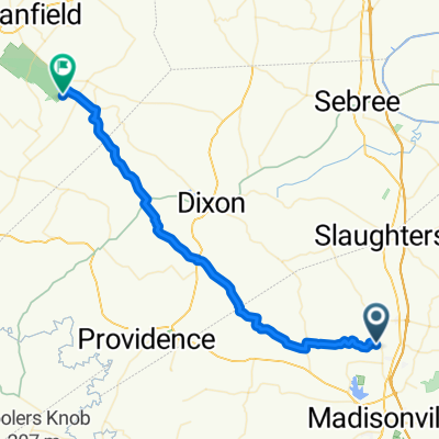
13KY_Madisonville-Cave City
A cycling route starting in Madisonville, Kentucky, United States of America.
Overview
About this route
Gefahren mit Rennrad am 26.09.2013 - insgesamt Straßen mit geringem Autoverkehr. Fahrt durch "Mammoth Cave National Park" ist ein Genuss!
Ist-daten: 169 km, 1.430 hm, 1.340 tm USA2- -:--
- Duration
- 169.9 km
- Distance
- 597 m
- Ascent
- 538 m
- Descent
- ---
- Avg. speed
- ---
- Max. altitude

Route quality
Waytypes & surfaces along the route
Waytypes
Busy road
154.4 km
(91 %)
Quiet road
10.7 km
(6 %)
Surfaces
Paved
20.2 km
(12 %)
Asphalt
20.2 km
(12 %)
Concrete
0 km
(<1 %)
Undefined
149.7 km
(88 %)
Continue with Bikemap
Use, edit, or download this cycling route
You would like to ride 13KY_Madisonville-Cave City or customize it for your own trip? Here is what you can do with this Bikemap route:
Free features
- Save this route as favorite or in collections
- Copy & plan your own version of this route
- Split it into stages to create a multi-day tour
- Sync your route with Garmin or Wahoo
Premium features
Free trial for 3 days, or one-time payment. More about Bikemap Premium.
- Navigate this route on iOS & Android
- Export a GPX / KML file of this route
- Create your custom printout (try it for free)
- Download this route for offline navigation
Discover more Premium features.
Get Bikemap PremiumFrom our community
Other popular routes starting in Madisonville
 13KY_Madisonville-Cave City
- Distance
- 169.9 km
- Ascent
- 597 m
- Descent
- 538 m
- Location
- Madisonville, Kentucky, United States of America
 Higginson-Henry Wildlife Management Area
- Distance
- 48.4 km
- Ascent
- 263 m
- Descent
- 244 m
- Location
- Madisonville, Kentucky, United States of America
 South Spring Street 269, Madisonville to Colorado Springs
- Distance
- 1,953.7 km
- Ascent
- 16,505 m
- Descent
- 14,826 m
- Location
- Madisonville, Kentucky, United States of America
Open it in the app