

Chemnitz-Markleeberg- Leipzig Hbf
A cycling route starting in Chemnitz, Saxony, Germany.
Overview
About this route
Suitable for cross and mountain bikes, more for cross, mountain bike section max 10%. Up to Nahrsdorf, alternating ascent, especially in Lunzenau. Afterwards, it continues on well-paved village roads, mostly flat, slightly downhill to Leipzig. In Geithain, a few kilometers on the main road must be traversed – but it is the better route. Break in Markleeberg-Zur Möncherei – great food. Up to that point, not many rest opportunities. Drinks can be bought in Flößberg or Kitscher. Otherwise, the route is very varied, passing through many small villages and nicely arranged paths. Along Störmthaler and Markleeberger Lakes, excellent cycle paths. Rail lines are always reasonably close if you cannot continue. Recommended as a day trip for regularly riding cyclists. Train service from Leipzig hourly – if the train does not have a replacement bus service (SEV).
- -:--
- Duration
- 94.5 km
- Distance
- 265 m
- Ascent
- 458 m
- Descent
- ---
- Avg. speed
- ---
- Max. altitude
Route quality
Waytypes & surfaces along the route
Waytypes
Quiet road
34.9 km
(37 %)
Track
14.2 km
(15 %)
Surfaces
Paved
67.1 km
(71 %)
Unpaved
9.4 km
(10 %)
Asphalt
66.1 km
(70 %)
Gravel
5.7 km
(6 %)
Route highlights
Points of interest along the route
Point of interest after 54 km
Kaufhalle-Getränkemarkt
Point of interest after 82.9 km
Radlerpension und Gaststätte
Continue with Bikemap
Use, edit, or download this cycling route
You would like to ride Chemnitz-Markleeberg- Leipzig Hbf or customize it for your own trip? Here is what you can do with this Bikemap route:
Free features
- Save this route as favorite or in collections
- Copy & plan your own version of this route
- Split it into stages to create a multi-day tour
- Sync your route with Garmin or Wahoo
Premium features
Free trial for 3 days, or one-time payment. More about Bikemap Premium.
- Navigate this route on iOS & Android
- Export a GPX / KML file of this route
- Create your custom printout (try it for free)
- Download this route for offline navigation
Discover more Premium features.
Get Bikemap PremiumFrom our community
Other popular routes starting in Chemnitz
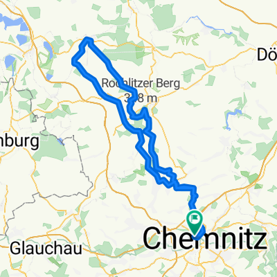 Chemnitz - Rochlitzer Berg - Bad Lausick - Chemnitz 2
- Distance
- 108.4 km
- Ascent
- 546 m
- Descent
- 543 m
- Location
- Chemnitz, Saxony, Germany
 Chemnitz - Kohren Salis
- Distance
- 96.3 km
- Ascent
- 522 m
- Descent
- 526 m
- Location
- Chemnitz, Saxony, Germany
 Abendrunde I
- Distance
- 30.6 km
- Ascent
- 218 m
- Descent
- 218 m
- Location
- Chemnitz, Saxony, Germany
 West- Nord- Runde (Grüna, Glöse, ...)
- Distance
- 49.8 km
- Ascent
- 339 m
- Descent
- 339 m
- Location
- Chemnitz, Saxony, Germany
 Monopfade Guste
- Distance
- 48.3 km
- Ascent
- 661 m
- Descent
- 680 m
- Location
- Chemnitz, Saxony, Germany
 Raben-Toten-Hohen-stein-Runde
- Distance
- 41.4 km
- Ascent
- 393 m
- Descent
- 397 m
- Location
- Chemnitz, Saxony, Germany
 kleine Runde um Chemnitz mit Abstecher nach Glösa
- Distance
- 30.5 km
- Ascent
- 167 m
- Descent
- 167 m
- Location
- Chemnitz, Saxony, Germany
 Zschopextreme
- Distance
- 47.7 km
- Ascent
- 675 m
- Descent
- 677 m
- Location
- Chemnitz, Saxony, Germany
Open it in the app