

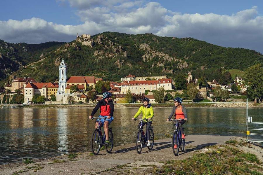
Spitz-Jauerling-Schallemmersdorf-Spitz
A cycling route starting in Spitz, Lower Austria, Austria.
Overview
About this route
Nice road cycling route - very steep up to Jauerling.
- -:--
- Duration
- 35.3 km
- Distance
- 732 m
- Ascent
- 732 m
- Descent
- ---
- Avg. speed
- ---
- Max. altitude
Route quality
Waytypes & surfaces along the route
Waytypes
Road
23.3 km
(66 %)
Quiet road
3.5 km
(10 %)
Surfaces
Paved
33.2 km
(94 %)
Asphalt
33.2 km
(94 %)
Undefined
2.1 km
(6 %)
Continue with Bikemap
Use, edit, or download this cycling route
You would like to ride Spitz-Jauerling-Schallemmersdorf-Spitz or customize it for your own trip? Here is what you can do with this Bikemap route:
Free features
- Save this route as favorite or in collections
- Copy & plan your own version of this route
- Sync your route with Garmin or Wahoo
Premium features
Free trial for 3 days, or one-time payment. More about Bikemap Premium.
- Navigate this route on iOS & Android
- Export a GPX / KML file of this route
- Create your custom printout (try it for free)
- Download this route for offline navigation
Discover more Premium features.
Get Bikemap PremiumFrom our community
Other popular routes starting in Spitz
 Spitz, Kremstal
- Distance
- 60 km
- Ascent
- 599 m
- Descent
- 597 m
- Location
- Spitz, Lower Austria, Austria
 Spitz - Krems Runde
- Distance
- 35.1 km
- Ascent
- 183 m
- Descent
- 182 m
- Location
- Spitz, Lower Austria, Austria
 14.06.2017 RK Spitz-Schönbühel-Melk-Ybbs-Emmersdorf-Aggsbach Markt
- Distance
- 97.2 km
- Ascent
- 157 m
- Descent
- 156 m
- Location
- Spitz, Lower Austria, Austria
 Spitz - Jauerling
- Distance
- 10.2 km
- Ascent
- 786 m
- Descent
- 30 m
- Location
- Spitz, Lower Austria, Austria
 Spitz - Weinsteintour
- Distance
- 47 km
- Ascent
- 1,610 m
- Descent
- 1,609 m
- Location
- Spitz, Lower Austria, Austria
 Wachau túra második nap
- Distance
- 19.2 km
- Ascent
- 62 m
- Descent
- 100 m
- Location
- Spitz, Lower Austria, Austria
 Hauptstraße 114, Wösendorf in der Wachau nach Florianigasse 132, Wösendorf in der Wachau
- Distance
- 36.4 km
- Ascent
- 72 m
- Descent
- 125 m
- Location
- Spitz, Lower Austria, Austria
 WACHAU Route
- Distance
- 38.6 km
- Ascent
- 393 m
- Descent
- 394 m
- Location
- Spitz, Lower Austria, Austria
Open it in the app