Drusel von
- 44.8 km
- 1,444 m
- 1,470 m
- Kassel, Hesse, Germany
A cycling route starting in Kassel, Hesse, Germany.
Overview
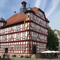
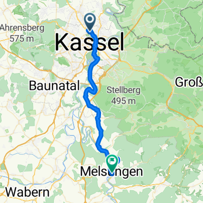
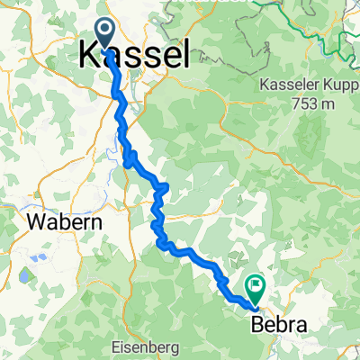
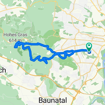
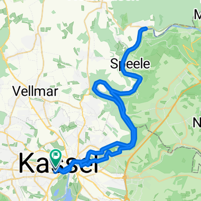
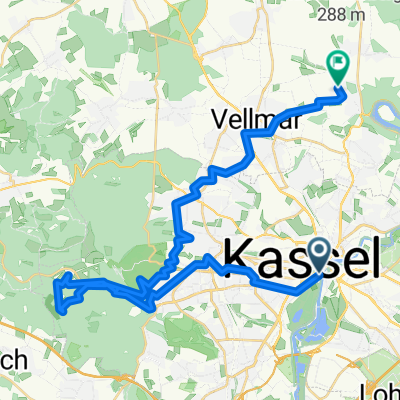
Standert ride from Kassel along Anatalstraße to warm up. Then on to Dörnberg and Zierenberg. Up to Dörnberg towards Ehrsten 16% but short. Down to Ehrsten, Calden. Flat continuing to Immenhausen. Gently uphill to Mariendorf. Now straight through the village and then right onto a small country road into the enchanting Reinhardswald. Wonderful climb in the forest. At the top, right towards Holzhausen, a very tough long climb, sometimes a lot of speedsters out there :-( now a long descent to Holzhausen, turn left towards Hann. Münden and then turn right towards Knickhagen. In the village slowly and at the fire station right up the hill, follow the signs to the Fulda Experience Center/ Fritz Erler Anlage. By far the steepest section in Nordhessen, 1.4 km long and a felt 20% steep, unfortunately missing a sign. I know nothing steeper in the area. Once you pass the former barracks, a wonderful view opens up toward the southwest over all of Kassel. Now quickly left into the Schocketal and then left, right along the Fulda back home toward Wolfsanger. Somehow my legs feel weak, there were probably a few tough altitude meters in there. :-) and so it shall be
created this 13 years ago
Route quality
Road
9.9 km
(13 %)
Quiet road
8.3 km
(11 %)
Paved
57.6 km
(76 %)
Unpaved
3 km
(4 %)
Asphalt
53.8 km
(71 %)
Paved (undefined)
3.8 km
(5 %)
Continue with Bikemap
You would like to ride Steiler geht nicht or customize it for your own trip? Here is what you can do with this Bikemap route:
Free trial for 3 days, or one-time payment. More about Bikemap Premium.
Discover more Premium features.
Get Bikemap PremiumFrom our community
Open it in the app