Ady Endre sor, Kismaros - Boglár utca, Budapest
- 82.3 km
- 1,238 m
- 1,244 m
- Kismaros, Pest County, Hungary
A cycling route starting in Kismaros, Pest County, Hungary.
Overview
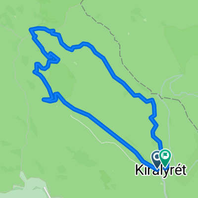
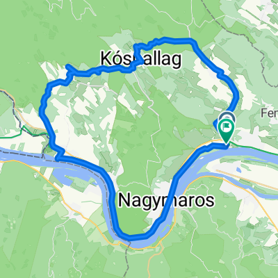
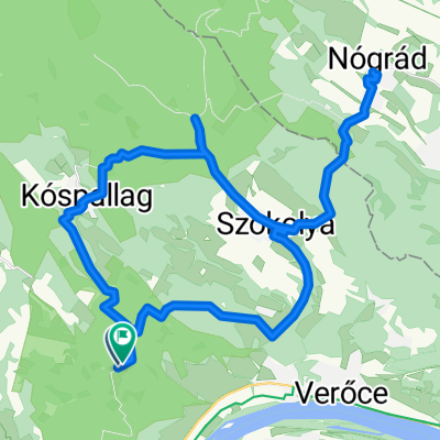
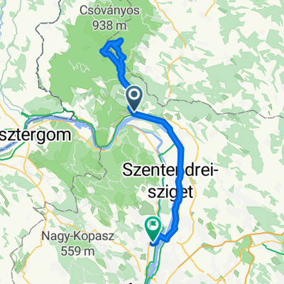
The tour started from Kóspallagi road so that there wouldn’t be an uphill at the end. We ride up to the Törökmezei junction where we turn left on the paved road. At Törökmező it’s worth going down to the lake on the hiking trail. After that, we continue the hike on the paved road closed from traffic. At the first concrete parking lot, one can search for the small house, where the view is beautiful. (At the end of the parking lot enter the forest cca: 30m). On the way back, we cycle towards Köves-mező, where we have a perfect view of Visegrád Castle. Not following the hiking sign, let’s avoid the barrier at the end of the concrete road and start on the forestry road, because it’s 'friendlier uphill'. Upon reaching Világos square, we definitely should continue on the barriered (Y right) path, in fact, we’ll come back this way. If we follow the trail, we’ll reach the ürmös meadow at the tower. Turning right, we’ll quickly reach the Julianus lookout. The panorama is stunning, that's why it's worth climbing up. From here, the hiking is easy, there are no serious climbs. Descending towards Világos square is similar. From there, however, the tourist path is a great choice up to Köves-mező, where the information pole also indicates the route to Zebegény. A bike-marked dirt road leads to the village where the Trianon memorial, viewpoint (even on the yellow tourist sign) can be visited. There are many other sights, a very beautiful settlement. In the center, we cross under the bridge to the other side of the main road and return 13 km on the paved bike path.
created this 13 years ago
Route highlights


felfelé az erdőgazdasági úton, a sorompó után


nyitott sorompónál indulni.

világos-tér

lefelé a turista úton


Continue with Bikemap
You would like to ride Majdnem körtúra képekkel or customize it for your own trip? Here is what you can do with this Bikemap route:
Free trial for 3 days, or one-time payment. More about Bikemap Premium.
Discover more Premium features.
Get Bikemap PremiumFrom our community
Open it in the app