

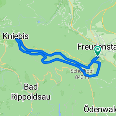
Kinzigtalradweg Freudenstadt - Gengenbach
A cycling route starting in Freudenstadt, Baden-Wurttemberg, Germany.
Overview
About this route
Landschaftlich einmalige Fahrradtour. Sie starten in Freudenstadt und radeln auf einer kaum befahrenen Straße über einen Bergrücken durch eine wunderschöne Waldlandschaft zwischen Kinzig und Kleiner Kinzig.<br /> Danach führt der Kinzigadweg talabärts nach Alpirsbach und folgt dem Fluss über Wolfach nach Hausach.<br /> Nach Haslach öffnet sich das Kinzigtal und führt in das historisch interessante Gengenbach.
Tip.Eiskaffee Michelangelo.
<br /> Offenburg ist das Ziel in der Rheinebene.<br /> Die Weiterfahrt ist auf dem Rheinradweg nach Basel oder in Richtung Karlsruhe möglich.
- -:--
- Duration
- 68.9 km
- Distance
- 1,031 m
- Ascent
- 1,577 m
- Descent
- ---
- Avg. speed
- 836 m
- Max. altitude

Route quality
Waytypes & surfaces along the route
Waytypes
Busy road
24.6 km
(36 %)
Quiet road
16.5 km
(24 %)
Surfaces
Paved
58.6 km
(85 %)
Unpaved
3 km
(4 %)
Asphalt
57.1 km
(83 %)
Gravel
2.4 km
(3 %)
Continue with Bikemap
Use, edit, or download this cycling route
You would like to ride Kinzigtalradweg Freudenstadt - Gengenbach or customize it for your own trip? Here is what you can do with this Bikemap route:
Free features
- Save this route as favorite or in collections
- Copy & plan your own version of this route
- Sync your route with Garmin or Wahoo
Premium features
Free trial for 3 days, or one-time payment. More about Bikemap Premium.
- Navigate this route on iOS & Android
- Export a GPX / KML file of this route
- Create your custom printout (try it for free)
- Download this route for offline navigation
Discover more Premium features.
Get Bikemap PremiumFrom our community
Other popular routes starting in Freudenstadt
 Tour Schwarzwald - Kleines Kinzigtal
- Distance
- 41.6 km
- Ascent
- 674 m
- Descent
- 677 m
- Location
- Freudenstadt, Baden-Wurttemberg, Germany
 Zwei-Täler-Tour
- Distance
- 51.5 km
- Ascent
- 942 m
- Descent
- 942 m
- Location
- Freudenstadt, Baden-Wurttemberg, Germany
 Sola aktuell Teil-2 Freudenstadt-Hardt
- Distance
- 41.8 km
- Ascent
- 610 m
- Descent
- 553 m
- Location
- Freudenstadt, Baden-Wurttemberg, Germany
 Ausfahrt durch Freudenstadt
- Distance
- 27.9 km
- Ascent
- 397 m
- Descent
- 398 m
- Location
- Freudenstadt, Baden-Wurttemberg, Germany
 Schwarzwaldtour
- Distance
- 81.5 km
- Ascent
- 185 m
- Descent
- 692 m
- Location
- Freudenstadt, Baden-Wurttemberg, Germany
 Kniebis- Baiersbronn runde
- Distance
- 31.6 km
- Ascent
- 549 m
- Descent
- 545 m
- Location
- Freudenstadt, Baden-Wurttemberg, Germany
 Freudenstadt für die Mittagspause
- Distance
- 19.7 km
- Ascent
- 294 m
- Descent
- 294 m
- Location
- Freudenstadt, Baden-Wurttemberg, Germany
 Schwarzwald Panorama-Radweg Tag 2
- Distance
- 59.1 km
- Ascent
- 528 m
- Descent
- 495 m
- Location
- Freudenstadt, Baden-Wurttemberg, Germany
Open it in the app