Peterzell vol_1 2020
- 34.8 km
- 531 m
- 535 m
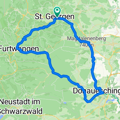
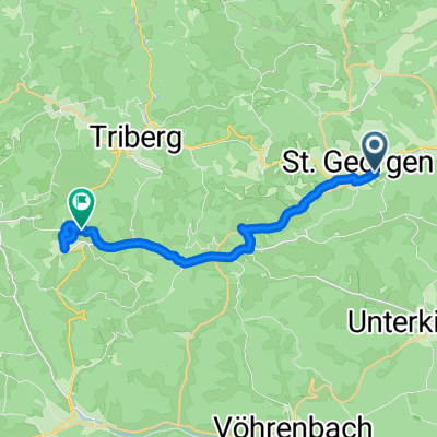
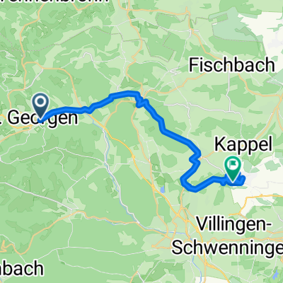
- Sankt Georgen im Schwarzwald, Baden-Wurttemberg, Germany
A cycling route starting in Sankt Georgen im Schwarzwald, Baden-Wurttemberg, Germany.
Overview
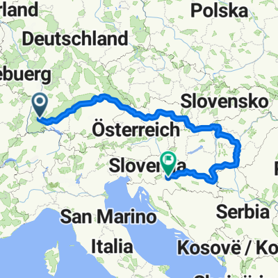
A lap through the Swabian Alb. Paved except for a few short sections.
created this 16 years ago
Route quality
Quiet road
75.8 km
(26 %)
Track
67 km
(23 %)
Paved
224.4 km
(77 %)
Unpaved
23.3 km
(8 %)
Asphalt
212.8 km
(73 %)
Gravel
14.6 km
(5 %)
Continue with Bikemap
You would like to ride St.Georgen - Bad Urach or customize it for your own trip? Here is what you can do with this Bikemap route:
Free trial for 3 days, or one-time payment. More about Bikemap Premium.
Discover more Premium features.
Get Bikemap PremiumFrom our community
Open it in the app