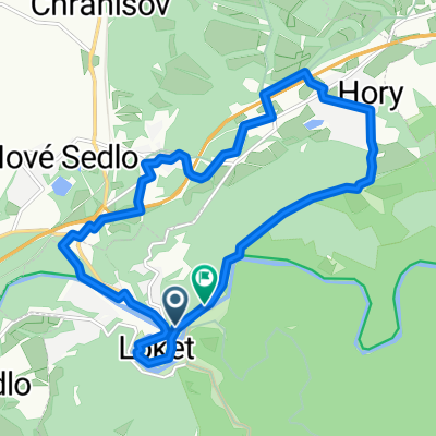
Tomáše Garrigue Masaryka, Loket nach Dasnice
- 22.8 km
- 135 m
- 118 m
- Loket, Karlovarský kraj, Czechia
A cycling route starting in Loket, Karlovarský kraj, Czechia.
Overview
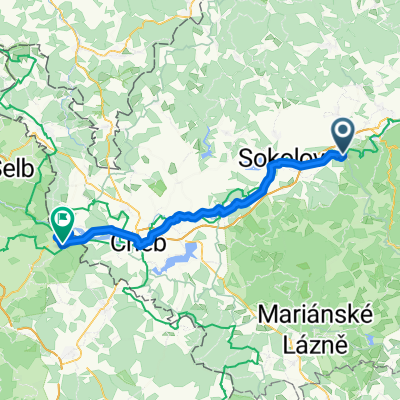
During the night it lightly rained, but we barely felt it since we chose a sleeping spot under a sprawling tree. In the morning it was really cold and additionally, at seven, the noise of a tractor wakes me up. I wonder where it comes from, and after a while, I hear the loud conversation of forest workers (not for publication) from the other side of the river. They are working on a windbreak there, where they are burning branches. We lounge around for about an hour more and I wait for someone to discover us and start shouting. They hadn't discovered us for about 2 hours until I took off the green tarp from the bicycles leaned against the tree, thus allowing a view of our tent. It was quite evident that they were surprised, but nothing happened. We calmly packed up and continued on our way to the Svatošské Rocks. A mist rises from the river and as the sunbeams shine through the trees, it is so beautiful that we have to photograph it. We reach Svatošky and then continue further to Karlovy Vary. Here we have breakfast and continue along route no. 6, following the Ohře, to Kyselka, Velichov, and Vojkovice. In Vojkovice, we cross to the other side and take the road to the junction of the tourist red path, which we continue on to Stráž n. Ohří. Behind the last cabin on red there is a rock over which both bags and bikes have to be carried, but it is not a big problem. From Stráž, we continue again on route no. 6 towards Korunní Kyselku and Okolunov. In Okounov, we ride back down to the river to Perštejn, where we continue along the river until we reach Klášterec n. Ohří. Right from the castle, there is a bike path all the way to Kadaň. Here we enjoy cakes in a renowned patisserie and from there we continue from Prunéřov via a collector to Chomutov.
created this 13 years ago
Route quality
Road
23.9 km
(27 %)
Quiet road
15.9 km
(18 %)
Paved
24.8 km
(28 %)
Unpaved
11.5 km
(13 %)
Asphalt
24.8 km
(28 %)
Gravel
7.1 km
(8 %)
Route highlights
Svatošské skály
MŃAMKY
Continue with Bikemap
You would like to ride Německo 2012-Waldnaabtal-Ohře-D3.20.9.Čt or customize it for your own trip? Here is what you can do with this Bikemap route:
Free trial for 3 days, or one-time payment. More about Bikemap Premium.
Discover more Premium features.
Get Bikemap PremiumFrom our community
Open it in the app