Lišanská šlapka
- 60.8 km
- 900 m
- 865 m
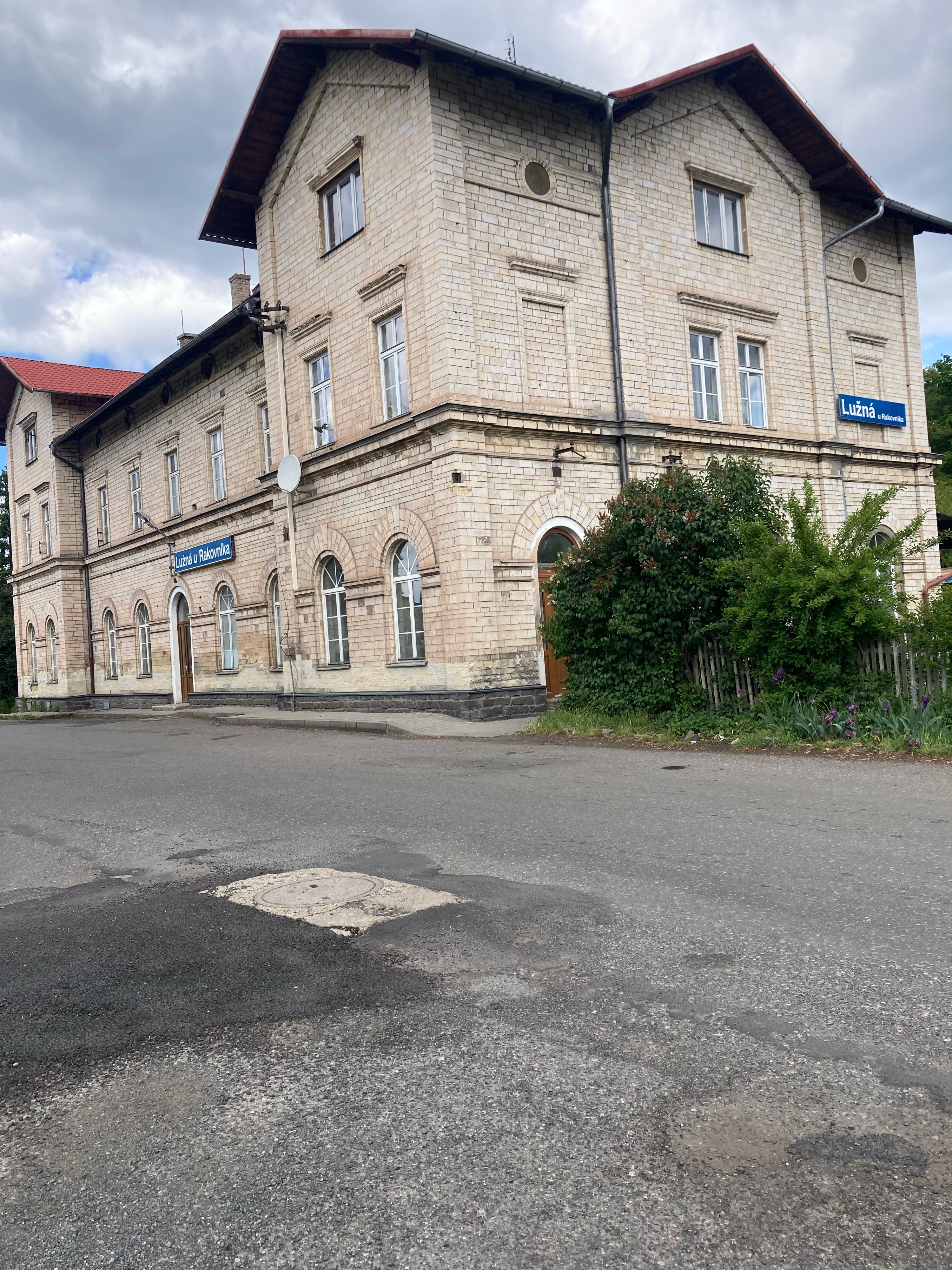
- Lužná, Central Bohemia, Czechia
A cycling route starting in Lužná, Central Bohemia, Czechia.
Overview
Lužná u Rakovníka ll - Rakovník - along the Rakovník stream to Křivoklát - Písky - Požáry - Alžběta - Klíčavy Valley - Ruda - Below Little Louštín - Maxova Obora - Sládkův Kříž - Lužná u Rakovníka ll
created this 13 years ago
Route quality
Track
14.8 km
(28 %)
Quiet road
10.6 km
(20 %)
Paved
25.4 km
(48 %)
Unpaved
6.9 km
(13 %)
Asphalt
19.1 km
(36 %)
Paved (undefined)
6.4 km
(12 %)
Route highlights

Na Rakovnickém potoce

Lucka

Křivoklát

Svatý Eustach

Mečná - rozcestí

Pilský rybník - rozcestí

Pátecká Lísa

Pod malým Louštínem - rozcestí
Continue with Bikemap
You would like to ride Křivoklát s Luckou-2011-23.4.-So or customize it for your own trip? Here is what you can do with this Bikemap route:
Free trial for 3 days, or one-time payment. More about Bikemap Premium.
Discover more Premium features.
Get Bikemap PremiumFrom our community
Open it in the app