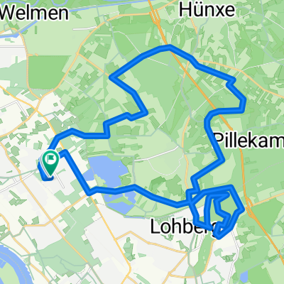
Radrunde durch Voerde (Niederrhein)
- 16.5 km
- 22 m
- 25 m
- Voerde, North Rhine-Westphalia, Germany
A cycling route starting in Voerde, North Rhine-Westphalia, Germany.
Overview
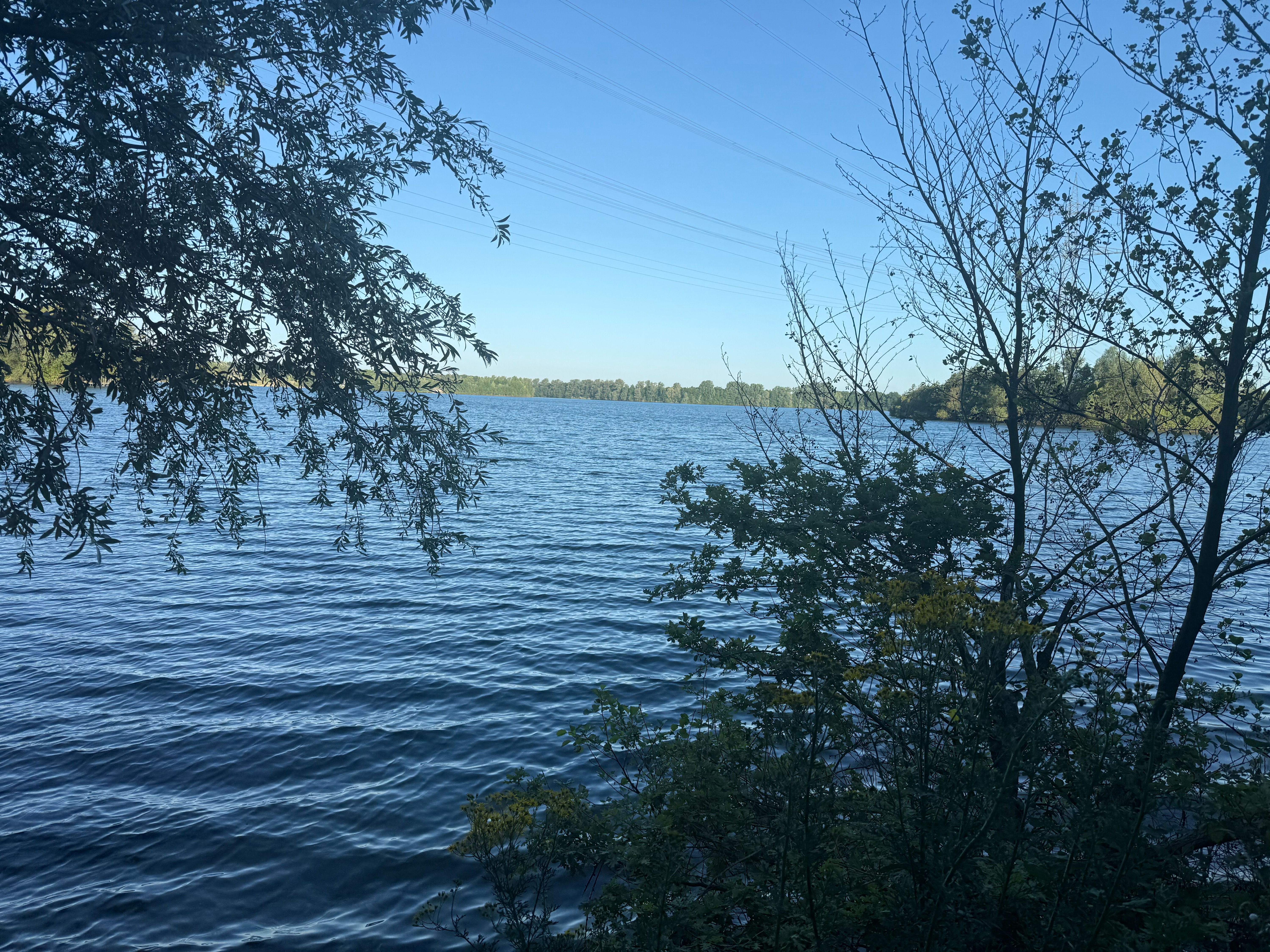
This is a very short - scenically beautiful - bike connection between Voerde-Friedrichsfeld and Dinslaken. It is the track for the Geocache 'Hans Huckebein'. See also www.geocaching.com
created this 13 years ago
Route quality
Quiet road
5.1 km
(48 %)
Path
5 km
(47 %)
Paved
4.5 km
(42 %)
Unpaved
1.8 km
(17 %)
Asphalt
4.4 km
(41 %)
Gravel
1 km
(9 %)
Continue with Bikemap
You would like to ride Hans Huckebein Geocache Trail or customize it for your own trip? Here is what you can do with this Bikemap route:
Free trial for 3 days, or one-time payment. More about Bikemap Premium.
Discover more Premium features.
Get Bikemap PremiumFrom our community
Open it in the app