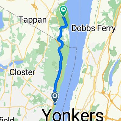
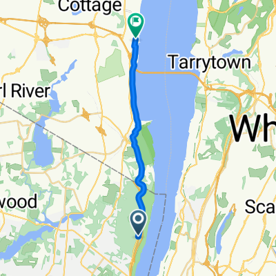
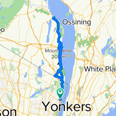
home to oca to southern end
- 41.2 km
- 329 m
- 327 m
- Alpine, New Jersey, United States
A cycling route starting in Alpine, New Jersey, United States.
Overview
This route is mostly paved and takes you on a quiet journey through the countryside. You'll start on a paved road and continue on this type of surface for roughly a hundred metres. After that, you'll turn onto a cycleway for a few kilometres. This is mostly a paved road, with some sections of the cycleway being unpaved. You'll then continue on a paved road for another few kilometres. After that, you'll turn onto a road for a few kilometres. This is mostly a paved road, with some sections of the road being unpaved. You'll then continue on a paved road for a few kilometres. After that, you'll turn onto a road for a few kilometres. This is mostly a paved road, with some sections of the road being unpaved. You'll then continue on a road for a few kilometres. After that, you'll turn onto a road for a few kilometres. This is mostly a paved road, with some sections of the road being unpaved. You'll then continue on a road for a few kilometres. After that, you'll turn onto a road for a few kilometres. This is mostly a paved road, with some sections of the road being unpaved. You'll then continue on a road for a few kilometres. After that, you'll turn onto a road for a few kilometres. This is mostly a paved road, with some sections of the road being unpaved. You'll then continue on a road for a few kilometres. After that, you'll turn onto a road for a few kilometres. This is mostly a paved road, with some sections of the road being unpaved. You'll then continue on a road for a few kilometres. After that, you'll turn onto a road for a few kilometres. This is mostly a paved road, with some sections of the road being unpaved. You'll then continue on a road for a few kilometres. After that, you'll turn onto a road for a few kilometres. This is mostly a paved road, with some sections of the road being unpaved. You'll then continue on a road for a few kilometres. After that, you'll turn onto a road for a few kilometres. This is mostly a paved road, with some sections of the road being unpaved. You'll then continue on a road for a few kilometres. After that, you'll turn onto a
AI generated
created this 15 days ago
Route quality
Quiet road
17.6 km
34 %
Cycleway
17.1 km
33 %
Paved
20.7 km
(40 %)
Unpaved
3.6 km
(7 %)
Concrete
11.4 km
22 %
Asphalt
7.3 km
14 %
Continue with Bikemap
You would like to ride tappan zee road training or customize it for your own trip? Here is what you can do with this Bikemap route:
Free trial for 3 days, or one-time payment. More about Bikemap Premium.
Discover more Premium features.
Get Bikemap PremiumFrom our community
Open it in the app