Overview
About this route
From the Hunte, you have to push the bike up the motorway embankment. There is a guide rail at the stairs.
In one area, cycling is actually not allowed; but everyone cycles there.
Catering establishments are spread along the route
- -:--
- Duration
- 37.9 km
- Distance
- 57 m
- Ascent
- 57 m
- Descent
- ---
- Avg. speed
- ---
- Max. altitude
Part of
Hassforter
2 stages
Continue with Bikemap
Use, edit, or download this cycling route
You would like to ride In und um Oldenburg or customize it for your own trip? Here is what you can do with this Bikemap route:
Free features
- Save this route as favorite or in collections
- Copy & plan your own version of this route
- Sync your route with Garmin or Wahoo
Premium features
Free trial for 3 days, or one-time payment. More about Bikemap Premium.
- Navigate this route on iOS & Android
- Export a GPX / KML file of this route
- Create your custom printout (try it for free)
- Download this route for offline navigation
Discover more Premium features.
Get Bikemap PremiumFrom our community
Other popular routes starting in Oldenburg
Von OL nach Bremen-Neustadt und zurück- Distance
- 112.6 km
- Ascent
- 111 m
- Descent
- 114 m
- Location
- Oldenburg, Lower Saxony, Germany
Oldenburg - Wardenburg - Huntlosen - Hude - Oldenburg- Distance
- 62.6 km
- Ascent
- 104 m
- Descent
- 109 m
- Location
- Oldenburg, Lower Saxony, Germany
Tour BePo zur Huntebrücke und zurück- Distance
- 38.2 km
- Ascent
- 34 m
- Descent
- 35 m
- Location
- Oldenburg, Lower Saxony, Germany
Hunte und Wesermarsch- Distance
- 45.6 km
- Ascent
- 37 m
- Descent
- 37 m
- Location
- Oldenburg, Lower Saxony, Germany
In und um Oldenburg- Distance
- 37.9 km
- Ascent
- 57 m
- Descent
- 57 m
- Location
- Oldenburg, Lower Saxony, Germany
Ipwegermoorrunde mit Mooriemer Landcafé- Distance
- 31.3 km
- Ascent
- 45 m
- Descent
- 46 m
- Location
- Oldenburg, Lower Saxony, Germany
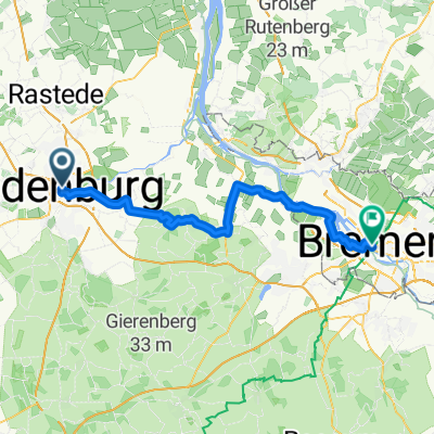
OL-Rastede-Wiefelstede-OL-33- Distance
- 32.5 km
- Ascent
- 28 m
- Descent
- 32 m
- Location
- Oldenburg, Lower Saxony, Germany
Kaffee trinken in Dötlingen- Distance
- 69.8 km
- Ascent
- 163 m
- Descent
- 159 m
- Location
- Oldenburg, Lower Saxony, Germany
Open it in the app

