Machang to Gunung Stong
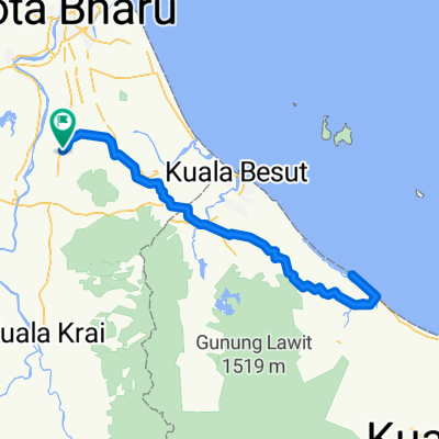
A cycling route starting in Pulai Chondong, Kelantan, Malaysia.
Overview
About this route
Ke Gunung Stong melalui Jeli dan balik melalui Kuala Krai
- -:--
- Duration
- 231.2 km
- Distance
- 477 m
- Ascent
- 477 m
- Descent
- ---
- Avg. speed
- ---
- Avg. speed
Continue with Bikemap
Use, edit, or download this cycling route
You would like to ride Machang to Gunung Stong or customize it for your own trip? Here is what you can do with this Bikemap route:
Free features
- Save this route as favorite or in collections
- Copy & plan your own version of this route
- Sync your route with Garmin or Wahoo
Premium features
Free trial for 3 days, or one-time payment. More about Bikemap Premium.
- Navigate this route on iOS & Android
- Export a GPX / KML file of this route
- Create your custom printout (try it for free)
- Download this route for offline navigation
Discover more Premium features.
Get Bikemap PremiumFrom our community
Other popular routes starting in Pulai Chondong
- Beginner
- Distance
- 18.8 km
- Ascent
- 1,565 m
- Descent
- 1,576 m
- Location
- Pulai Chondong, Kelantan, Malaysia
- Sekitar PC
- Distance
- 12.5 km
- Ascent
- 74 m
- Descent
- 74 m
- Location
- Pulai Chondong, Kelantan, Malaysia
- Rantau Panjang
- Distance
- 123.8 km
- Ascent
- 166 m
- Descent
- 168 m
- Location
- Pulai Chondong, Kelantan, Malaysia
- jeram mengaji loop
- Distance
- 35.9 km
- Ascent
- 174 m
- Descent
- 171 m
- Location
- Pulai Chondong, Kelantan, Malaysia
- ROUND SEMENANJUNG
- Distance
- 2,141.5 km
- Ascent
- 1,251 m
- Descent
- 1,251 m
- Location
- Pulai Chondong, Kelantan, Malaysia
- KOK LANAS - PKL KALONG - MATA AYER
- Distance
- 23.5 km
- Ascent
- 41 m
- Descent
- 38 m
- Location
- Pulai Chondong, Kelantan, Malaysia
- Kampung Alor Hijau, Selising to 84, Kampung Raja
- Distance
- 44 km
- Ascent
- 84 m
- Descent
- 106 m
- Location
- Pulai Chondong, Kelantan, Malaysia
- tok bali
- Distance
- 96.8 km
- Ascent
- 120 m
- Descent
- 119 m
- Location
- Pulai Chondong, Kelantan, Malaysia
Open it in the app