

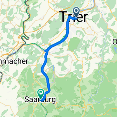
Trier-Wintersdorf
A cycling route starting in Trier, Rhineland-Palatinate, Germany.
Overview
About this route
Von Trier linke Moselseite über Wasserbillig nach Wintersdorf in HILDES BAUERNCAFE. Sonntags gibt es eine Auswahl von 18 (!) Kuchen. Montags Ruhetag.
- -:--
- Duration
- 28 km
- Distance
- 189 m
- Ascent
- 168 m
- Descent
- ---
- Avg. speed
- ---
- Max. altitude
Route quality
Waytypes & surfaces along the route
Waytypes
Path
16.9 km
(60 %)
Track
4.8 km
(17 %)
Surfaces
Paved
22.9 km
(82 %)
Unpaved
3.4 km
(12 %)
Asphalt
21.8 km
(78 %)
Ground
2.7 km
(10 %)
Continue with Bikemap
Use, edit, or download this cycling route
You would like to ride Trier-Wintersdorf or customize it for your own trip? Here is what you can do with this Bikemap route:
Free features
- Save this route as favorite or in collections
- Copy & plan your own version of this route
- Sync your route with Garmin or Wahoo
Premium features
Free trial for 3 days, or one-time payment. More about Bikemap Premium.
- Navigate this route on iOS & Android
- Export a GPX / KML file of this route
- Create your custom printout (try it for free)
- Download this route for offline navigation
Discover more Premium features.
Get Bikemap PremiumFrom our community
Other popular routes starting in Trier
 Trier-Oberemmel-Biebelhausen-Saarburg-Mannebach-Onsdorf-Konz-Trier
- Distance
- 57.6 km
- Ascent
- 541 m
- Descent
- 544 m
- Location
- Trier, Rhineland-Palatinate, Germany
 2. Etappe - Graf-Siegfried-Straße, Saarburg nach Heinertstraße, Mettlach
- Distance
- 24.3 km
- Ascent
- 166 m
- Descent
- 139 m
- Location
- Trier, Rhineland-Palatinate, Germany
 Mosel-Radweg:
- Distance
- 193.9 km
- Ascent
- 393 m
- Descent
- 461 m
- Location
- Trier, Rhineland-Palatinate, Germany
 Tour der Leiden ;-)
- Distance
- 90.5 km
- Ascent
- 1,226 m
- Descent
- 1,037 m
- Location
- Trier, Rhineland-Palatinate, Germany
 Trier-Koblenz
- Distance
- 229.2 km
- Ascent
- 330 m
- Descent
- 364 m
- Location
- Trier, Rhineland-Palatinate, Germany
 Gemütliche Route in Trier
- Distance
- 33.4 km
- Ascent
- 358 m
- Descent
- 360 m
- Location
- Trier, Rhineland-Palatinate, Germany
 Moselradweg
- Distance
- 150 km
- Ascent
- 792 m
- Descent
- 851 m
- Location
- Trier, Rhineland-Palatinate, Germany
 Trier - Koblenz
- Distance
- 190.9 km
- Ascent
- 267 m
- Descent
- 331 m
- Location
- Trier, Rhineland-Palatinate, Germany
Open it in the app