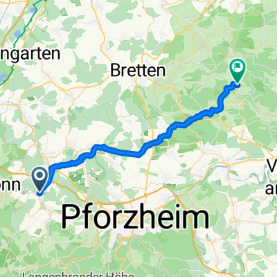
Schwarzwald-Radweg Stupferich, Dobel, Karlsruhe
A cycling route starting in Königsbach-Stein, Baden-Wurttemberg, Germany.
Overview
About this route
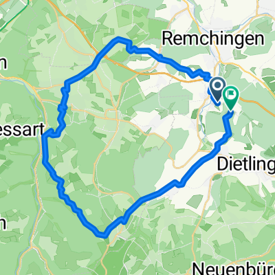
crosses the Black Forest in a north-south direction numerous climbs to the heights of the Black Forest Anyone wanting to ride the entire length of the Black Forest Cycle Path should plan for at least 4 days. But partial routes of any length are also possible.
The path designed for mountain bikes is fully signposted from the southern exit of Karlsruhe main station to Lörrach.
I only rode to Bad Herrenalb and back to Karlsruhe.
- -:--
- Duration
- 58.6 km
- Distance
- 652 m
- Ascent
- 754 m
- Descent
- ---
- Avg. speed
- ---
- Max. altitude
Continue with Bikemap
Use, edit, or download this cycling route
You would like to ride Schwarzwald-Radweg Stupferich, Dobel, Karlsruhe or customize it for your own trip? Here is what you can do with this Bikemap route:
Free features
- Save this route as favorite or in collections
- Copy & plan your own version of this route
- Sync your route with Garmin or Wahoo
Premium features
Free trial for 3 days, or one-time payment. More about Bikemap Premium.
- Navigate this route on iOS & Android
- Export a GPX / KML file of this route
- Create your custom printout (try it for free)
- Download this route for offline navigation
Discover more Premium features.
Get Bikemap PremiumFrom our community
Other popular routes starting in Königsbach-Stein
- Cycle Sport Probefahrt
- Distance
- 4.7 km
- Ascent
- 72 m
- Descent
- 71 m
- Location
- Königsbach-Stein, Baden-Wurttemberg, Germany
- Rundfahrt Kämpfelbach
- Distance
- 29.4 km
- Ascent
- 348 m
- Descent
- 339 m
- Location
- Königsbach-Stein, Baden-Wurttemberg, Germany
- Hopfenbergtour
- Distance
- 18.6 km
- Ascent
- 392 m
- Descent
- 392 m
- Location
- Königsbach-Stein, Baden-Wurttemberg, Germany
- Pfinztalrunde
- Distance
- 54.4 km
- Ascent
- 287 m
- Descent
- 286 m
- Location
- Königsbach-Stein, Baden-Wurttemberg, Germany
- Waldrundfahrt
- Distance
- 47.5 km
- Ascent
- 586 m
- Descent
- 586 m
- Location
- Königsbach-Stein, Baden-Wurttemberg, Germany
- Obstwiesenrunde
- Distance
- 2.2 km
- Ascent
- 45 m
- Descent
- 44 m
- Location
- Königsbach-Stein, Baden-Wurttemberg, Germany
- Langensteinbach
- Distance
- 29.3 km
- Ascent
- 331 m
- Descent
- 331 m
- Location
- Königsbach-Stein, Baden-Wurttemberg, Germany
- Stupferich - am Rande des Nordschwarzwaldes
- Distance
- 39.2 km
- Ascent
- 249 m
- Descent
- 252 m
- Location
- Königsbach-Stein, Baden-Wurttemberg, Germany
Open it in the app