Deutschland2027 E11
- 54.8 km
- 1,031 m
- 555 m
- Coburg, Bavaria, Germany
A cycling route starting in Coburg, Bavaria, Germany.
Overview
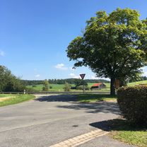
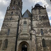
JRR-Runde, from Coburg via LIF, down the Main Valley, at Ebing switch to the Itzgrund, returning via Hohenstein. The route touches many towns. It is advisable, even if not always marked here, to use the bike paths along the main roads. Long stretches are flat, with only a few climbs. It passes through two large river valleys of the region, through Lichtenfels, past Vierzehnheiligen, Kloster Banz and Staffelberg, on the way back to Hohenstein Castle (requires a small detour). The route is well suited for achieving a high average speed (even better without the detour to Hohenstein).
created this 13 years ago
Route quality
Road
28.3 km
(36 %)
Path
18.9 km
(24 %)
Paved
62.1 km
(79 %)
Unpaved
0.8 km
(1 %)
Asphalt
62.1 km
(79 %)
Unpaved (undefined)
0.8 km
(1 %)
Undefined
15.7 km
(20 %)
Continue with Bikemap
You would like to ride Coburg - Maintal - Ebing - Itzgrund - Hohenstein - Coburg or customize it for your own trip? Here is what you can do with this Bikemap route:
Free trial for 3 days, or one-time payment. More about Bikemap Premium.
Discover more Premium features.
Get Bikemap PremiumFrom our community
Open it in the app