

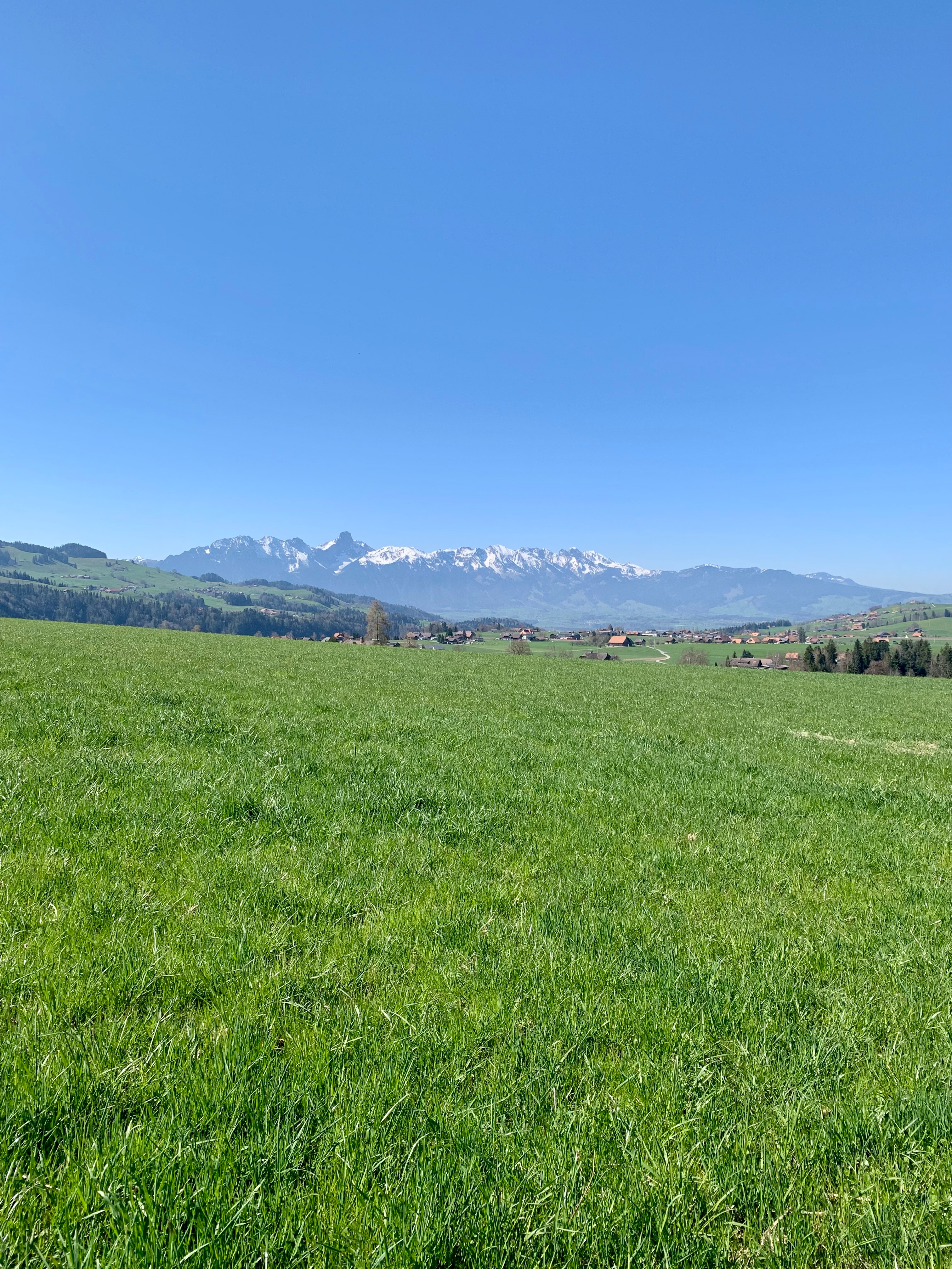
Thun-Schangnau
A cycling route starting in Thun, Canton of Bern, Switzerland.
Overview
About this route
- -:--
- Duration
- 91.2 km
- Distance
- 1,810 m
- Ascent
- 1,813 m
- Descent
- ---
- Avg. speed
- ---
- Max. altitude

Route quality
Waytypes & surfaces along the route
Waytypes
Quiet road
30.1 km
(33 %)
Road
21 km
(23 %)
Surfaces
Paved
60.2 km
(66 %)
Unpaved
10.9 km
(12 %)
Asphalt
54.7 km
(60 %)
Gravel
10 km
(11 %)
Continue with Bikemap
Use, edit, or download this cycling route
You would like to ride Thun-Schangnau or customize it for your own trip? Here is what you can do with this Bikemap route:
Free features
- Save this route as favorite or in collections
- Copy & plan your own version of this route
- Split it into stages to create a multi-day tour
- Sync your route with Garmin or Wahoo
Premium features
Free trial for 3 days, or one-time payment. More about Bikemap Premium.
- Navigate this route on iOS & Android
- Export a GPX / KML file of this route
- Create your custom printout (try it for free)
- Download this route for offline navigation
Discover more Premium features.
Get Bikemap PremiumFrom our community
Other popular routes starting in Thun
 Uebeschi-Runde
- Distance
- 20.7 km
- Ascent
- 186 m
- Descent
- 187 m
- Location
- Thun, Canton of Bern, Switzerland
 Blume
Blume- Distance
- 26.7 km
- Ascent
- 860 m
- Descent
- 857 m
- Location
- Thun, Canton of Bern, Switzerland
 Rund um den Thunersee
- Distance
- 78.6 km
- Ascent
- 2,070 m
- Descent
- 2,039 m
- Location
- Thun, Canton of Bern, Switzerland
 3-Thun-Burgdorf-82km-1821Hm
- Distance
- 82.5 km
- Ascent
- 2,207 m
- Descent
- 2,217 m
- Location
- Thun, Canton of Bern, Switzerland
 Gurnigelstrasse 24, Thun nach Gurnigelstrasse 22, Thun
- Distance
- 25.1 km
- Ascent
- 340 m
- Descent
- 339 m
- Location
- Thun, Canton of Bern, Switzerland
 Haltenegg
- Distance
- 20.6 km
- Ascent
- 656 m
- Descent
- 658 m
- Location
- Thun, Canton of Bern, Switzerland
 Rohrbis Tour de Schallenberg
- Distance
- 82.3 km
- Ascent
- 1,213 m
- Descent
- 1,219 m
- Location
- Thun, Canton of Bern, Switzerland
 Wimmisrunde
- Distance
- 24.3 km
- Ascent
- 379 m
- Descent
- 382 m
- Location
- Thun, Canton of Bern, Switzerland
Open it in the app