TarchominFabr
- 5.7 km
- 5 m
- 4 m
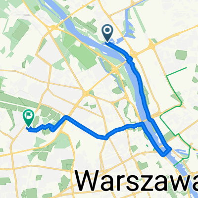
- Białołeka, Masovian Voivodeship, Poland
A cycling route starting in Białołeka, Masovian Voivodeship, Poland.
Overview
Cycling pilgrimage to Italy to Isola del Gran Sasso. Departure for 3 weeks.
created this 13 years ago
Route highlights
wyjazd
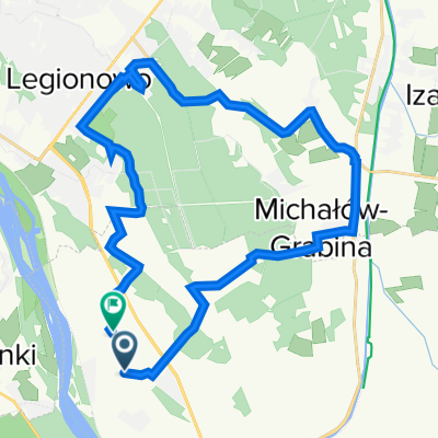
koniec trasy. Sanktuarium świętego Gabriela od Matki Bożej Bolesnej
Continue with Bikemap
You would like to ride Warszawa- Isola del Gran Saso (Wochy) or customize it for your own trip? Here is what you can do with this Bikemap route:
Free trial for 3 days, or one-time payment. More about Bikemap Premium.
Discover more Premium features.
Get Bikemap PremiumFrom our community
Open it in the app