

Walchenseeumrundung entlang der Isar mit steilen Waldstücken
A cycling route starting in Schlehdorf, Bavaria, Germany.
Overview
About this route
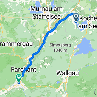
From Walchensee towards Wallgau, the terrain is partly hilly and partly flat, alternating between asphalt and gravel. In Wallgau, turn towards Sylvenstein reservoir and follow the toll road, which is pure asphalt.From the toll road, take the turn into the forest (forest path) following the description Hochkopf/Sachenbacher Alm. In the forest, there are several route options, some steep, all pure gravel paths. Descend towards Niedernach, with a summer stopping point at Waldschenke. From there, continue along the lake on gravel paths towards Urfeld. From Urfeld, follow the federal road towards Walchensee.
- -:--
- Duration
- 39.2 km
- Distance
- 643 m
- Ascent
- 643 m
- Descent
- ---
- Avg. speed
- ---
- Max. altitude
Route quality
Waytypes & surfaces along the route
Waytypes
Track
15.7 km
(40 %)
Quiet road
10.2 km
(26 %)
Surfaces
Paved
23.2 km
(59 %)
Unpaved
15.3 km
(39 %)
Asphalt
22.4 km
(57 %)
Gravel
14.9 km
(38 %)
Continue with Bikemap
Use, edit, or download this cycling route
You would like to ride Walchenseeumrundung entlang der Isar mit steilen Waldstücken or customize it for your own trip? Here is what you can do with this Bikemap route:
Free features
- Save this route as favorite or in collections
- Copy & plan your own version of this route
- Sync your route with Garmin or Wahoo
Premium features
Free trial for 3 days, or one-time payment. More about Bikemap Premium.
- Navigate this route on iOS & Android
- Export a GPX / KML file of this route
- Create your custom printout (try it for free)
- Download this route for offline navigation
Discover more Premium features.
Get Bikemap PremiumFrom our community
Other popular routes starting in Schlehdorf
 RundumWalchensee
- Distance
- 23.7 km
- Ascent
- 409 m
- Descent
- 409 m
- Location
- Schlehdorf, Bavaria, Germany
 Jochberg Hochfahrt 800HM
- Distance
- 15.9 km
- Ascent
- 644 m
- Descent
- 344 m
- Location
- Schlehdorf, Bavaria, Germany
 Auf den Herzogstand
- Distance
- 11 km
- Ascent
- 748 m
- Descent
- 748 m
- Location
- Schlehdorf, Bavaria, Germany
 Heimgartenrunde mit Eschenlainetal
- Distance
- 48.1 km
- Ascent
- 1,040 m
- Descent
- 1,040 m
- Location
- Schlehdorf, Bavaria, Germany
 Seestraße, Schlehdorf nach Martinswinkelstraße, Garmisch-Partenkirchen
- Distance
- 33.8 km
- Ascent
- 220 m
- Descent
- 124 m
- Location
- Schlehdorf, Bavaria, Germany
 Walchenseeumrundung entlang der Isar mit steilen Waldstücken
- Distance
- 39.2 km
- Ascent
- 643 m
- Descent
- 643 m
- Location
- Schlehdorf, Bavaria, Germany
 Sommerfest Radlrunde "Berg"
- Distance
- 11.5 km
- Ascent
- 1,113 m
- Descent
- 204 m
- Location
- Schlehdorf, Bavaria, Germany
 Kochelsee - Around two lakes across grasslands
- Distance
- 58.6 km
- Ascent
- 915 m
- Descent
- 915 m
- Location
- Schlehdorf, Bavaria, Germany
Open it in the app