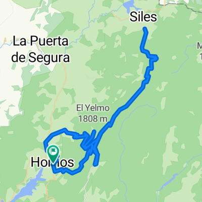
- 76.8 km
- 950 m
- 1,381 m
- Segura de la Sierra, Andalusia, Spain
Huelga Utrera - Puntal de la Misa - Río Madera - Venta de Rampias - Huelga Utrera
A cycling route starting in Segura de la Sierra, Andalusia, Spain.
Overview
About this route
Mountain route starting from the village of Huelga Utrera heading towards Puntal de la Misa, crossing villages and farmsteads such as Los Anchos, Prado Maguillo or Cañada del Saucar. After reaching the summit, we return on our path back to Prado Maguillo to take a well-maintained track towards Río Madera where we can have a good refreshment. We then descend by road to Venta de Rampias, where we connect with the starting route, and return to Huelga Utrera by road.
- -:--
- Duration
- 50.2 km
- Distance
- 965 m
- Ascent
- 965 m
- Descent
- ---
- Avg. speed
- ---
- Max. altitude
created this 13 years ago
Continue with Bikemap
Use, edit, or download this cycling route
You would like to ride Huelga Utrera - Puntal de la Misa - Río Madera - Venta de Rampias - Huelga Utrera or customize it for your own trip? Here is what you can do with this Bikemap route:
Free features
- Save this route as favorite or in collections
- Copy & plan your own version of this route
- Sync your route with Garmin or Wahoo
Premium features
Free trial for 3 days, or one-time payment. More about Bikemap Premium.
- Navigate this route on iOS & Android
- Export a GPX / KML file of this route
- Create your custom printout (try it for free)
- Download this route for offline navigation
Discover more Premium features.
Get Bikemap PremiumFrom our community
Other popular routes starting in Segura de la Sierra
- Ruta Homenaje
- HORNOS- HORNOS por La Capellanía y Segura de la Sierra
- 57.8 km
- 1,043 m
- 1,045 m
- Segura de la Sierra, Andalusia, Spain
- Pontones - Pozo Alcón
- 144.3 km
- 3,197 m
- 3,687 m
- Segura de la Sierra, Andalusia, Spain
- Huelga Utrera - Puntal de la Misa - Río Madera - Venta de Rampias - Huelga Utrera
- 50.2 km
- 965 m
- 965 m
- Segura de la Sierra, Andalusia, Spain
- Subida al Yelmo por Hornos (A-317)
- 21.7 km
- 1,208 m
- 108 m
- Segura de la Sierra, Andalusia, Spain
- Ruta Circular de Segura a Castril y Tiscar
- 263.1 km
- 2,881 m
- 2,887 m
- Segura de la Sierra, Andalusia, Spain
- Cazorla (El Yelmo - La Cumbre - Alto de Acebeas)
- 94 km
- 1,919 m
- 1,922 m
- Segura de la Sierra, Andalusia, Spain
- Hornos de Segura - Peal de Becerro
- 89 km
- 990 m
- 1,309 m
- Segura de la Sierra, Andalusia, Spain
Open it in the app


