

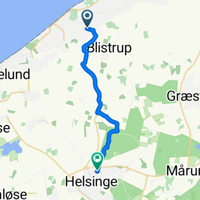
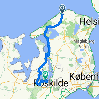
Overview
About this route
0
- 3:36 h
- Duration
- 56.2 km
- Distance
- 190 m
- Ascent
- 193 m
- Descent
- 15.6 km/h
- Avg. speed
- 46 m
- Max. altitude
Anneke
created this 29 days ago
Part of
Route nach Lund
4 stages
Route quality
Waytypes & surfaces along the route
Waytypes
Cycleway
18 km
32 %
Quiet road
15.7 km
28 %
Surfaces
Paved
35.4 km
(63 %)
Unpaved
9 km
(16 %)
Asphalt
35.4 km
63 %
Gravel
4.5 km
8 %
Continue with Bikemap
Use, edit, or download this cycling route
You would like to ride Græsted - Rydebäck or customize it for your own trip? Here is what you can do with this Bikemap route:
Free features
- Save this route as favorite or in collections
- Copy & plan your own version of this route
- Sync your route with Garmin or Wahoo
Premium features
Free trial for 3 days, or one-time payment. More about Bikemap Premium.
- Navigate this route on iOS & Android
- Export a GPX / KML file of this route
- Create your custom printout (try it for free)
- Download this route for offline navigation
Discover more Premium features.
Get Bikemap PremiumFrom our community
Other popular routes starting in Græsted
- Maglehøjvej 28, Græsted to Maglehøjvej 32, Græsted2
- 56.6 km
- 283 m
- 284 m
- Græsted, Capital Region, Denmark
- Gantekrogsvej, Græsted to Gantekrogsvej 1, Græsted2
- 19.3 km
- 144 m
- 174 m
- Græsted, Capital Region, Denmark


Open it in the app