Chemin des Rouettes 173, Messimy-sur-Saône nach Chemin des Rouettes 173, Messimy-sur-Saône
- 10.2 km
- 64 m
- 67 m
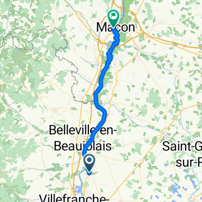
- Saint-Georges-de-Reneins, Auvergne-Rhône-Alpes, France
A cycling route starting in Saint-Georges-de-Reneins, Auvergne-Rhône-Alpes, France.
Overview
created this 13 years ago
Route quality
Road
31.9 km
(28 %)
Quiet road
20.5 km
(18 %)
Paved
30.7 km
(27 %)
Unpaved
3.4 km
(3 %)
Asphalt
30.7 km
(27 %)
Unpaved (undefined)
1.1 km
(1 %)
Route highlights
Col de Pierre Plate
Col de la Croix Rosier
Col de la Croix Marchampt
Col de la Casse Froide
Col de la Croix Nicelle
Col de Favardy
Col des Ecorbans
Col des Aillets
Col des Echarmeaux
Col de la Croix d'Ajoux
Mont St. Giraud
Col de Patoux
Col des Oncins
Col de Crie
Col de la Serve
Col du Fût d'Avenas
Col du Truges
Continue with Bikemap
You would like to ride Col Hunting Beaujolais or customize it for your own trip? Here is what you can do with this Bikemap route:
Free trial for 3 days, or one-time payment. More about Bikemap Premium.
Discover more Premium features.
Get Bikemap PremiumFrom our community
Open it in the app