Nordelsass
- 106.9 km
- 445 m
- 445 m
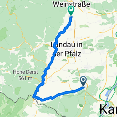
- Kandel, Rhineland-Palatinate, Germany
A cycling route starting in Kandel, Rhineland-Palatinate, Germany.
Overview
Parking: Kandel Industriestrasse B 49.09970 L 8.18343 On the Kraut und Rüben trail to Wissembourg, high over the Scherhol to Lembach, along the Sauer River to the medieval town of Woerth. Then on to Durrenbach, Biblisheim, Surbourg, Betschdorf. From there on road d 243 to Hatten and through the forest to Niederroeden and further hilly to Lauterbourg. From Berg to Büchelberg through the Bienwald to start and finish at Minderslachen
created this 13 years ago
Route quality
Road
28.9 km
(27 %)
Cycleway
20.3 km
(19 %)
Paved
82.3 km
(77 %)
Unpaved
1.1 km
(1 %)
Asphalt
76.9 km
(72 %)
Paved (undefined)
3.2 km
(3 %)
Route highlights


Continue with Bikemap
You would like to ride Nordelsass or customize it for your own trip? Here is what you can do with this Bikemap route:
Free trial for 3 days, or one-time payment. More about Bikemap Premium.
Discover more Premium features.
Get Bikemap PremiumFrom our community
Open it in the app