

c1 Le circuit de Béa
A cycling route starting in Fontaines-sur-Saône, Auvergne-Rhône-Alpes, France.
Overview
About this route
Spécialement adapté pour Madame !
- -:--
- Duration
- 19.5 km
- Distance
- 186 m
- Ascent
- 183 m
- Descent
- ---
- Avg. speed
- ---
- Max. altitude

Route quality
Waytypes & surfaces along the route
Waytypes
Busy road
13.4 km
(69 %)
Road
3.1 km
(16 %)
Surfaces
Paved
16.3 km
(84 %)
Asphalt
16.3 km
(84 %)
Undefined
3.2 km
(16 %)
Continue with Bikemap
Use, edit, or download this cycling route
You would like to ride c1 Le circuit de Béa or customize it for your own trip? Here is what you can do with this Bikemap route:
Free features
- Save this route as favorite or in collections
- Copy & plan your own version of this route
- Sync your route with Garmin or Wahoo
Premium features
Free trial for 3 days, or one-time payment. More about Bikemap Premium.
- Navigate this route on iOS & Android
- Export a GPX / KML file of this route
- Create your custom printout (try it for free)
- Download this route for offline navigation
Discover more Premium features.
Get Bikemap PremiumFrom our community
Other popular routes starting in Fontaines-sur-Saône
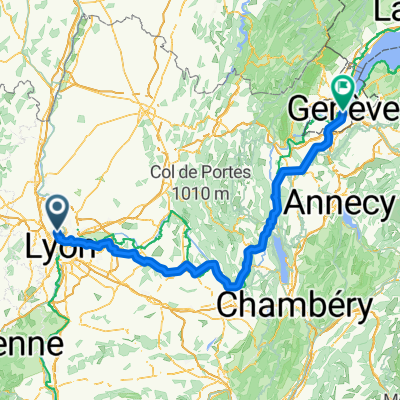 Saint Didier vers Genève
- Distance
- 189.5 km
- Ascent
- 966 m
- Descent
- 887 m
- Location
- Fontaines-sur-Saône, Auvergne-Rhône-Alpes, France
 L7 Abkürzung: Fontaines-Saint-Martin - Aurec-sur-Loire; 45+12km mit Bahn Givors-Firminy
- Distance
- 112.5 km
- Ascent
- 1,355 m
- Descent
- 1,099 m
- Location
- Fontaines-sur-Saône, Auvergne-Rhône-Alpes, France
 Quai de la Libération, Collonges-au-Mont-d'Or to 5 Chemin de la Chaîne, Ternay
- Distance
- 30.1 km
- Ascent
- 243 m
- Descent
- 243 m
- Location
- Fontaines-sur-Saône, Auvergne-Rhône-Alpes, France
 Big VTT man
- Distance
- 144.7 km
- Ascent
- 3,774 m
- Descent
- 3,779 m
- Location
- Fontaines-sur-Saône, Auvergne-Rhône-Alpes, France
 Parcours dimanche 2302
- Distance
- 52.3 km
- Ascent
- 375 m
- Descent
- 377 m
- Location
- Fontaines-sur-Saône, Auvergne-Rhône-Alpes, France
 Margot route
- Distance
- 54.6 km
- Ascent
- 286 m
- Descent
- 285 m
- Location
- Fontaines-sur-Saône, Auvergne-Rhône-Alpes, France
 Search the perimeter 2
- Distance
- 30 km
- Ascent
- 584 m
- Descent
- 583 m
- Location
- Fontaines-sur-Saône, Auvergne-Rhône-Alpes, France
 Fontaine-sur-Saône - Mâcon
- Distance
- 68.3 km
- Ascent
- 47 m
- Descent
- 42 m
- Location
- Fontaines-sur-Saône, Auvergne-Rhône-Alpes, France
Open it in the app