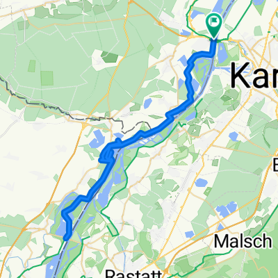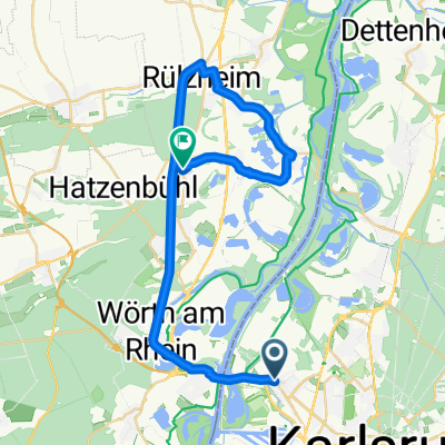
Knielingen, Karlsruhe nach Flachsmarkt, Rheinzabern
- 32.4 km
- 87 m
- 88 m
- Wörth am Rhein, Rhineland-Palatinate, Germany
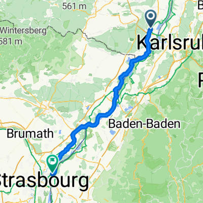
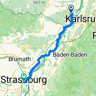
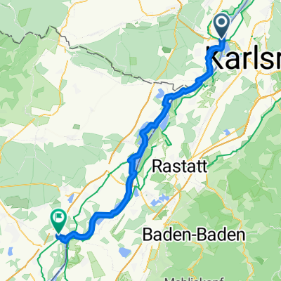
A cycling route starting in Wörth am Rhein, Rhineland-Palatinate, Germany.
Overview
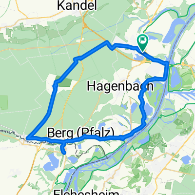
Fire station Wörth, Berg, Scheibenhardt, Niederroedern, Münchhausen, Lauterburg and Brauhaus Hagenbach. 60 km, 2:15 min, average 26.0
created this 16 years ago
Route quality
Road
22.3 km
(37 %)
Path
11.4 km
(19 %)
Paved
56.6 km
(94 %)
Asphalt
52.3 km
(87 %)
Paved (undefined)
4.2 km
(7 %)
Undefined
3.6 km
(6 %)
Continue with Bikemap
You would like to ride Elsassrunde or customize it for your own trip? Here is what you can do with this Bikemap route:
Free trial for 3 days, or one-time payment. More about Bikemap Premium.
Discover more Premium features.
Get Bikemap PremiumFrom our community
Open it in the app