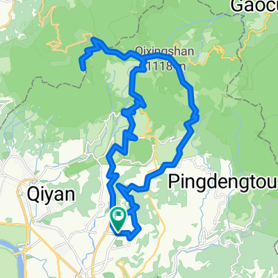
大稻埕 觀音山 八里 大稻埕
A cycling route starting in Taipei, Taipei, Taiwan.
Overview
About this route
- -:--
- Duration
- 45.6 km
- Distance
- 402 m
- Ascent
- 402 m
- Descent
- ---
- Avg. speed
- ---
- Max. altitude
Route highlights
Points of interest along the route
Point of interest after 6.6 km
Continue with Bikemap
Use, edit, or download this cycling route
You would like to ride 大稻埕 觀音山 八里 大稻埕 or customize it for your own trip? Here is what you can do with this Bikemap route:
Free features
- Save this route as favorite or in collections
- Copy & plan your own version of this route
- Sync your route with Garmin or Wahoo
Premium features
Free trial for 3 days, or one-time payment. More about Bikemap Premium.
- Navigate this route on iOS & Android
- Export a GPX / KML file of this route
- Create your custom printout (try it for free)
- Download this route for offline navigation
Discover more Premium features.
Get Bikemap PremiumFrom our community
Other popular routes starting in Taipei
- Short bike tour through Taipei City
- Distance
- 3.2 km
- Ascent
- 295 m
- Descent
- 295 m
- Location
- Taipei, Taipei, Taiwan
- 台北←→桃園三坑老街
- Distance
- 111 km
- Ascent
- 321 m
- Descent
- 315 m
- Location
- Taipei, Taipei, Taiwan
- 小鐵人宜蘭兩日20160423
- Distance
- 89.5 km
- Ascent
- 585 m
- Descent
- 589 m
- Location
- Taipei, Taipei, Taiwan
- 大稻埕→西濱→竹圍漁港→永安漁港
- Distance
- 67.8 km
- Ascent
- 95 m
- Descent
- 89 m
- Location
- Taipei, Taipei, Taiwan
- 陽金3P
- Distance
- 114.6 km
- Ascent
- 2,046 m
- Descent
- 1,741 m
- Location
- Taipei, Taipei, Taiwan
- Taiwan tour
- Distance
- 985.3 km
- Ascent
- 1,195 m
- Descent
- 1,194 m
- Location
- Taipei, Taipei, Taiwan
- 秘境之旅-南港,汐止,平溪,石碇
- Distance
- 66.8 km
- Ascent
- 1,419 m
- Descent
- 1,418 m
- Location
- Taipei, Taipei, Taiwan
- 陽明山第五條:天元宮→巴拉卡公路→大屯山助航站
- Distance
- 15.9 km
- Ascent
- 952 m
- Descent
- 37 m
- Location
- Taipei, Taipei, Taiwan
Open it in the app