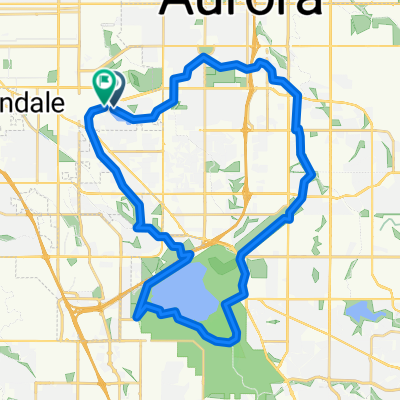
Highline Canal-Tollgate Creek-Cherry Creek Drainage-Cherry Creek Trails
A cycling route starting in Glendale, Colorado, United States of America.
Overview
About this route
- -:--
- Duration
- 33.2 km
- Distance
- 99 m
- Ascent
- 99 m
- Descent
- ---
- Avg. speed
- ---
- Avg. speed
Route quality
Waytypes & surfaces along the route
Waytypes
Cycleway
32.1 km
(97 %)
Road
0.5 km
(2 %)
Surfaces
Paved
32.9 km
(99 %)
Unpaved
0.1 km
(<1 %)
Concrete
15.3 km
(46 %)
Asphalt
9.9 km
(30 %)
Continue with Bikemap
Use, edit, or download this cycling route
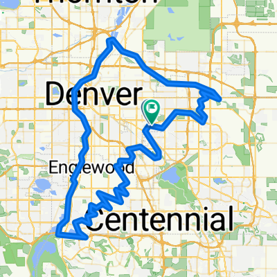
You would like to ride Highline Canal-Tollgate Creek-Cherry Creek Drainage-Cherry Creek Trails or customize it for your own trip? Here is what you can do with this Bikemap route:
Free features
- Save this route as favorite or in collections
- Copy & plan your own version of this route
- Sync your route with Garmin or Wahoo
Premium features
Free trial for 3 days, or one-time payment. More about Bikemap Premium.
- Navigate this route on iOS & Android
- Export a GPX / KML file of this route
- Create your custom printout (try it for free)
- Download this route for offline navigation
Discover more Premium features.
Get Bikemap PremiumFrom our community
Other popular routes starting in Glendale
- Denver REI
- Distance
- 17 km
- Ascent
- 87 m
- Descent
- 89 m
- Location
- Glendale, Colorado, United States of America
- Fuck You Aurora & Your Fake Ass!!
- Distance
- 2.9 km
- Ascent
- 4 m
- Descent
- 5 m
- Location
- Glendale, Colorado, United States of America
- RMCC Social Ride West Loop
- Distance
- 42.5 km
- Ascent
- 210 m
- Descent
- 212 m
- Location
- Glendale, Colorado, United States of America
- Westerly Creek Utah Park
- Distance
- 22.9 km
- Ascent
- 45 m
- Descent
- 45 m
- Location
- Glendale, Colorado, United States of America
- Highline Canal-Tollgate Creek-Cherry Creek Drainage-Cherry Creek Trails
- Distance
- 33.2 km
- Ascent
- 99 m
- Descent
- 99 m
- Location
- Glendale, Colorado, United States of America
- Sullivan and Hampden Heights Tour via Highline Canal
- Distance
- 11 km
- Ascent
- 49 m
- Descent
- 49 m
- Location
- Glendale, Colorado, United States of America
- Home to South Platte Interchange
- Distance
- 14.2 km
- Ascent
- 27 m
- Descent
- 97 m
- Location
- Glendale, Colorado, United States of America
- Westerly Creek Loop 15
- Distance
- 26.1 km
- Ascent
- 88 m
- Descent
- 90 m
- Location
- Glendale, Colorado, United States of America