
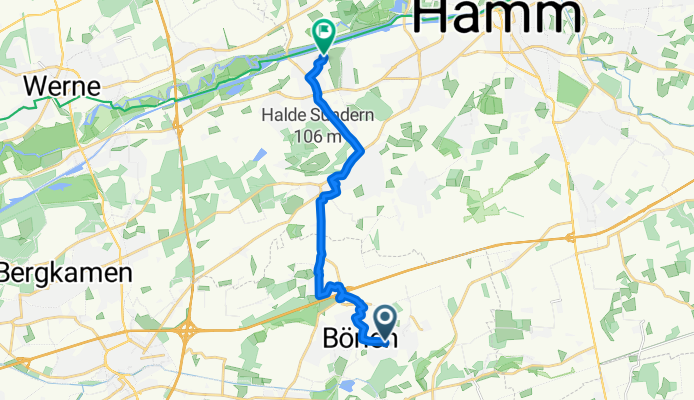
Bönen - Herringen (Halloween-Haus)
A cycling route starting in Bönen, North Rhine-Westphalia, Germany.
Overview
About this route
Von Bönen nach Herringen zum Halloweenhaus - muss man unbedingt gesehen haben.
Unsere absolute Empfehlung!
- -:--
- Duration
- 12.9 km
- Distance
- 18 m
- Ascent
- 49 m
- Descent
- ---
- Avg. speed
- ---
- Max. altitude

Route quality
Waytypes & surfaces along the route
Waytypes
Busy road
5.5 km
(43 %)
Quiet road
4.7 km
(36 %)
Surfaces
Paved
12.6 km
(98 %)
Asphalt
11.3 km
(87 %)
Paving stones
1.2 km
(10 %)
Continue with Bikemap
Use, edit, or download this cycling route
You would like to ride Bönen - Herringen (Halloween-Haus) or customize it for your own trip? Here is what you can do with this Bikemap route:
Free features
- Save this route as favorite or in collections
- Copy & plan your own version of this route
- Sync your route with Garmin or Wahoo
Premium features
Free trial for 3 days, or one-time payment. More about Bikemap Premium.
- Navigate this route on iOS & Android
- Export a GPX / KML file of this route
- Create your custom printout (try it for free)
- Download this route for offline navigation
Discover more Premium features.
Get Bikemap PremiumFrom our community
Other popular routes starting in Bönen
 Fähre Lupia
- Distance
- 67.9 km
- Ascent
- 104 m
- Descent
- 104 m
- Location
- Bönen, North Rhine-Westphalia, Germany
 Möhnetour kurz
- Distance
- 66 km
- Ascent
- 473 m
- Descent
- 424 m
- Location
- Bönen, North Rhine-Westphalia, Germany
 1. Mai
- Distance
- 38.8 km
- Ascent
- 123 m
- Descent
- 122 m
- Location
- Bönen, North Rhine-Westphalia, Germany
 Friedhofstraße 21A, Bönen nach Friedhofstraße 14, Bönen
- Distance
- 42.1 km
- Ascent
- 174 m
- Descent
- 174 m
- Location
- Bönen, North Rhine-Westphalia, Germany
 Nordbögge-Blumen Hesse-Nordbögge
- Distance
- 27.1 km
- Ascent
- 61 m
- Descent
- 58 m
- Location
- Bönen, North Rhine-Westphalia, Germany
 Nordbögge-Schloss Cappenberg-Großes Holz
- Distance
- 45.1 km
- Ascent
- 271 m
- Descent
- 269 m
- Location
- Bönen, North Rhine-Westphalia, Germany
 Zur Möhnetalsperre - nur 31,6 km
- Distance
- 31.6 km
- Ascent
- 290 m
- Descent
- 161 m
- Location
- Bönen, North Rhine-Westphalia, Germany
 Buschrunde
- Distance
- 32.5 km
- Ascent
- 136 m
- Descent
- 136 m
- Location
- Bönen, North Rhine-Westphalia, Germany
Open it in the app