

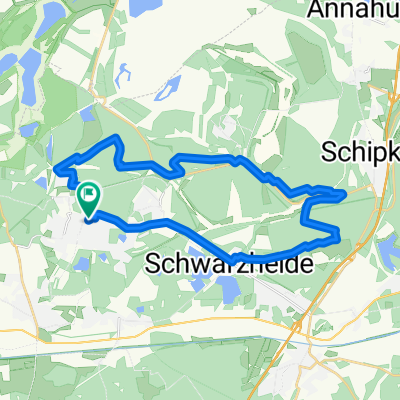
LH Ost - LH Nord - Koyne - Gruenewalder Lauch - LH Mitte - LH Ost
A cycling route starting in Lauchhammer, Brandenburg, Germany.
Overview
About this route
- -:--
- Duration
- 27.4 km
- Distance
- 99 m
- Ascent
- 99 m
- Descent
- ---
- Avg. speed
- ---
- Max. altitude
Route highlights
Points of interest along the route

Point of interest after 11.8 km

Point of interest after 12.4 km

Point of interest after 13.8 km
Continue with Bikemap
Use, edit, or download this cycling route
You would like to ride LH Ost - LH Nord - Koyne - Gruenewalder Lauch - LH Mitte - LH Ost or customize it for your own trip? Here is what you can do with this Bikemap route:
Free features
- Save this route as favorite or in collections
- Copy & plan your own version of this route
- Sync your route with Garmin or Wahoo
Premium features
Free trial for 3 days, or one-time payment. More about Bikemap Premium.
- Navigate this route on iOS & Android
- Export a GPX / KML file of this route
- Create your custom printout (try it for free)
- Download this route for offline navigation
Discover more Premium features.
Get Bikemap PremiumFrom our community
Other popular routes starting in Lauchhammer
 MTB-Kippenrennen Oktober 2o12
- Distance
- 35.7 km
- Ascent
- 210 m
- Descent
- 208 m
- Location
- Lauchhammer, Brandenburg, Germany
 Schwarzheide-Schipkau-Lauchhammer Runde
- Distance
- 27.4 km
- Ascent
- 147 m
- Descent
- 150 m
- Location
- Lauchhammer, Brandenburg, Germany
 Tagebaustrasse bis Massen
- Distance
- 40.2 km
- Ascent
- 105 m
- Descent
- 106 m
- Location
- Lauchhammer, Brandenburg, Germany
 Lauchhammer-Ostsee
- Distance
- 403.9 km
- Ascent
- 683 m
- Descent
- 728 m
- Location
- Lauchhammer, Brandenburg, Germany
 Natur Pur
- Distance
- 40.7 km
- Ascent
- 101 m
- Descent
- 99 m
- Location
- Lauchhammer, Brandenburg, Germany
 "Höhenmeterfresserrunde" LH-Mitte - Schipkau - Kostebrau - LH
- Distance
- 37.7 km
- Ascent
- 246 m
- Descent
- 244 m
- Location
- Lauchhammer, Brandenburg, Germany
 Radtour un den Loben
- Distance
- 35.2 km
- Ascent
- 118 m
- Descent
- 119 m
- Location
- Lauchhammer, Brandenburg, Germany
 Route zu Grünewalder Lauch
- Distance
- 21 km
- Ascent
- 85 m
- Descent
- 71 m
- Location
- Lauchhammer, Brandenburg, Germany
Open it in the app