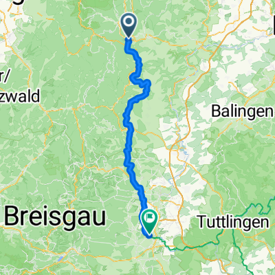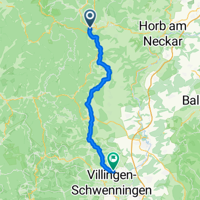
Von Freudenstadt bis Villingen-Schwenningen
- 59.2 km
- 1,028 m
- 1,042 m
- Freudenstadt, Baden-Wurttemberg, Germany
A cycling route starting in Freudenstadt, Baden-Wurttemberg, Germany.
Overview
At the beginning, a short steep climb, then some gentle ups and downs to Kniebis. Down forest paths to Sankenbach where you can visit the waterfalls. At the end of the tour, another steep climb to Freudenstadt. (or take the train from Baiersbronn)
created this 16 years ago
Route quality
Track
23 km
(65 %)
Quiet road
7.8 km
(22 %)
Paved
18.8 km
(53 %)
Unpaved
14.9 km
(42 %)
Asphalt
18.4 km
(52 %)
Gravel
12 km
(34 %)
Route highlights
Continue with Bikemap
You would like to ride Über den Kniebis zum Sankenbach or customize it for your own trip? Here is what you can do with this Bikemap route:
Free trial for 3 days, or one-time payment. More about Bikemap Premium.
Discover more Premium features.
Get Bikemap PremiumFrom our community
Open it in the app