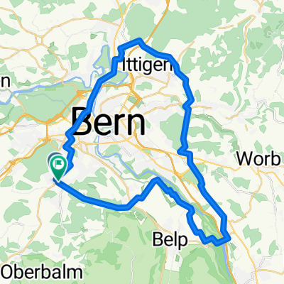
Berner Hügelweg 3 GCL links Var.1
- 46.3 km
- 1,084 m
- 1,081 m
- Köniz, Canton of Bern, Switzerland
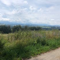
A cycling route starting in Köniz, Canton of Bern, Switzerland.
Overview
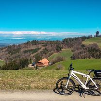
Bern - Ulmizberg - Kehrsatz - Gurten - Wabern - Bern
created this 13 years ago
Route quality
Quiet road
13.6 km
(58 %)
Road
6.8 km
(29 %)
Paved
16.4 km
(70 %)
Asphalt
16.4 km
(70 %)
Undefined
7 km
(30 %)
Continue with Bikemap
You would like to ride Bern - Ulmizberg - Kehrsatz - Gurten - Wabern - Bern or customize it for your own trip? Here is what you can do with this Bikemap route:
Free trial for 3 days, or one-time payment. More about Bikemap Premium.
Discover more Premium features.
Get Bikemap PremiumFrom our community
Open it in the app