

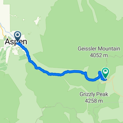
03CO_Aspen-Crested Butte
A cycling route starting in Aspen, Colorado, United States.
Overview
About this route
Mit Rennrad gefahren am 14.09.2013. Anfang toll auf ehemaliger Bahnlinie "Rio Grande Trail", konnte hier nachträglich nicht eingezeichnet werden. Ende der Tour nach 120 km wegen (nasser) Schotterstraße, siehe Datei.
USA2- -:--
- Duration
- 166.9 km
- Distance
- 1,875 m
- Ascent
- 1,577 m
- Descent
- ---
- Avg. speed
- ---
- Max. altitude

Route quality
Waytypes & surfaces along the route
Waytypes
Road
70.8 km
(42 %)
Busy road
70.2 km
(42 %)
Surfaces
Paved
130.8 km
(78 %)
Unpaved
35.1 km
(21 %)
Asphalt
119.9 km
(72 %)
Gravel
35.1 km
(21 %)
Route highlights
Points of interest along the route
Point of interest after 30.7 km
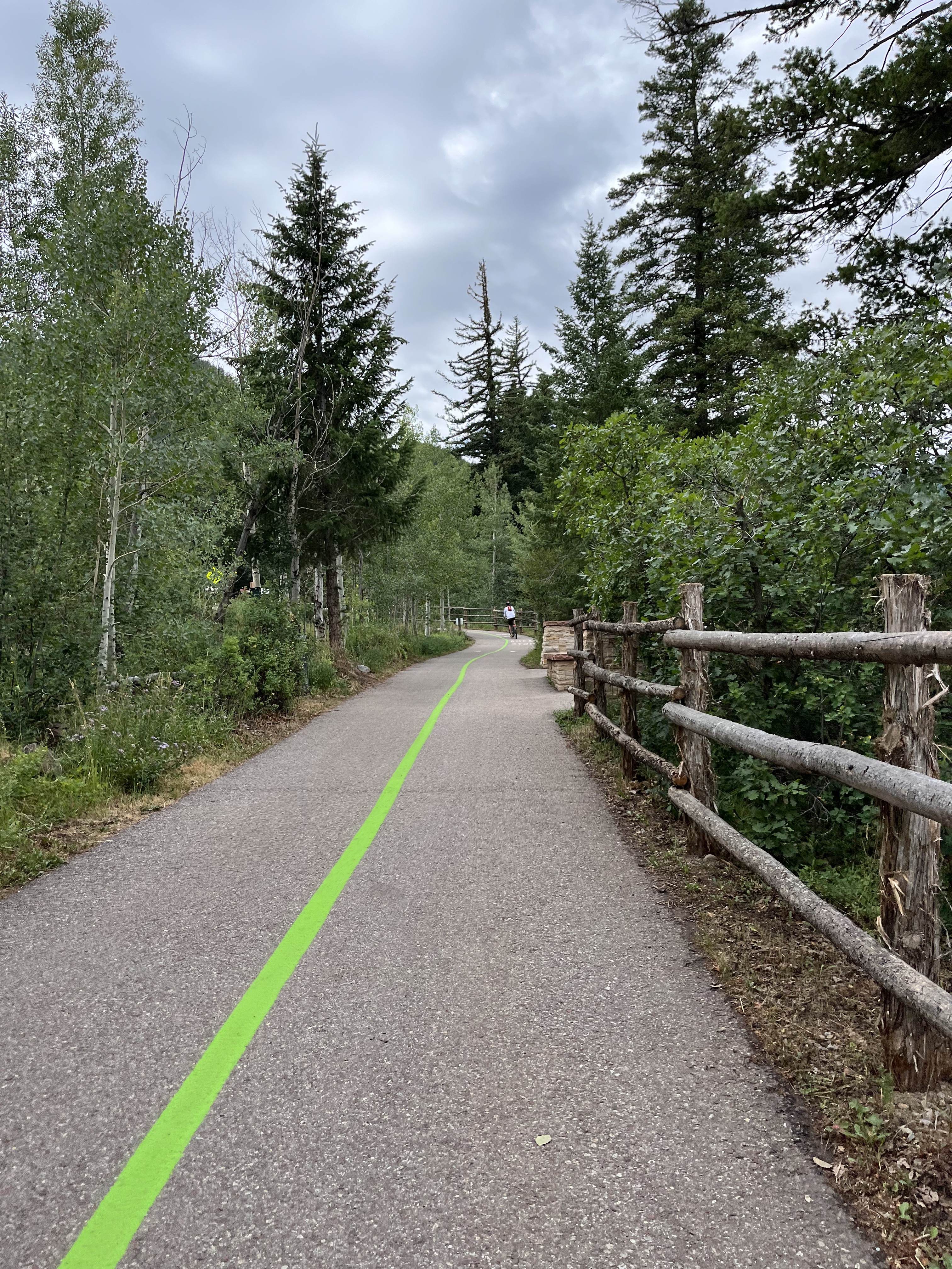
auf dieser tollen, best bitumierten ehemaligen Bahnlinie "Rio Grande Trail" gefahren bis Carpendale.
Point of interest after 124.3 km
ab hier Schotterstraße, deshalb Rennräder ins Auto und ans Ziel gefahren
Point of interest after 157.8 km
ca. 3.200 m
Continue with Bikemap
Use, edit, or download this cycling route
You would like to ride 03CO_Aspen-Crested Butte or customize it for your own trip? Here is what you can do with this Bikemap route:
Free features
- Save this route as favorite or in collections
- Copy & plan your own version of this route
- Split it into stages to create a multi-day tour
- Sync your route with Garmin or Wahoo
Premium features
Free trial for 3 days, or one-time payment. More about Bikemap Premium.
- Navigate this route on iOS & Android
- Export a GPX / KML file of this route
- Create your custom printout (try it for free)
- Download this route for offline navigation
Discover more Premium features.
Get Bikemap PremiumFrom our community
Other popular routes starting in Aspen
 Castle Creek/Ashcroft, Aspen CO
- Distance
- 47.5 km
- Ascent
- 595 m
- Descent
- 595 m
- Location
- Aspen, Colorado, United States
 Carbondale - Aspen
- Distance
- 205.2 km
- Ascent
- 2,162 m
- Descent
- 2,699 m
- Location
- Aspen, Colorado, United States
 03CO_Aspen-Crested Butte
- Distance
- 166.9 km
- Ascent
- 1,875 m
- Descent
- 1,577 m
- Location
- Aspen, Colorado, United States
 Leadville - Aspen
- Distance
- 226.6 km
- Ascent
- 3,187 m
- Descent
- 2,521 m
- Location
- Aspen, Colorado, United States
 ToC2 Day5: Rest day, Maroon Bells
- Distance
- 30.1 km
- Ascent
- 508 m
- Descent
- 508 m
- Location
- Aspen, Colorado, United States
 ToC Day6: Aspen - Independence Pass - Twin Lakes
- Distance
- 60.3 km
- Ascent
- 1,294 m
- Descent
- 808 m
- Location
- Aspen, Colorado, United States
 39.192, -106.854 to 39.099, -106.941
- Distance
- 14.7 km
- Ascent
- 528 m
- Descent
- 53 m
- Location
- Aspen, Colorado, United States
 Aspen Independence Pass
- Distance
- 32 km
- Ascent
- 1,292 m
- Descent
- 18 m
- Location
- Aspen, Colorado, United States
Open it in the app