Chehalis Western Trail, Olympia to Axis Street Southeast 6737, Lacey
- 8.1 km
- 32 m
- 43 m
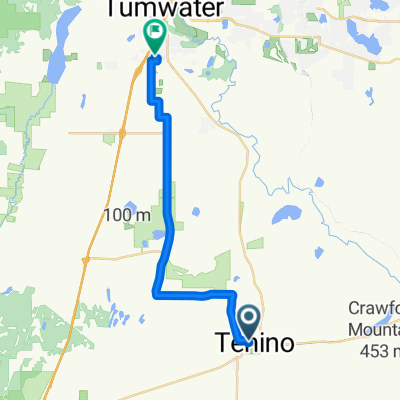
- Tenino, Washington, United States
A cycling route starting in Tenino, Washington, United States.
Overview
Route quality
Road
143.3 km
(71 %)
Quiet road
24.2 km
(12 %)
Paved
46.4 km
(23 %)
Asphalt
46.4 km
(23 %)
Undefined
155.4 km
(77 %)
Route highlights
1st & 5th rest stop
2nd rest Stop
3rd rest stop
4th rest stop
Continue with Bikemap
You would like to ride Two County Double Metric Century or customize it for your own trip? Here is what you can do with this Bikemap route:
Free trial for 3 days, or one-time payment. More about Bikemap Premium.
Discover more Premium features.
Get Bikemap PremiumFrom our community
Open it in the app