

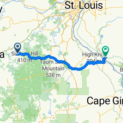
10MO_Steelville-IL_Chester
A cycling route starting in Steelville, Missouri, United States of America.
Overview
About this route
Gefahren mit Rennrad am 23.09.2013 - zweites Viertel der Tourstrecke sehr stark befahren, schön über die Mississibi-Brücke zu fahren!
Ist-Daten: 176 km, 1.635 hm, 1.698 tm USA2- -:--
- Duration
- 174.6 km
- Distance
- 758 m
- Ascent
- 816 m
- Descent
- ---
- Avg. speed
- ---
- Max. altitude

Route quality
Waytypes & surfaces along the route
Waytypes
Busy road
86.3 km
(49 %)
Road
77.1 km
(44 %)
Surfaces
Paved
81.4 km
(47 %)
Unpaved
0.2 km
(<1 %)
Paved (undefined)
75 km
(43 %)
Asphalt
6.2 km
(4 %)
Continue with Bikemap
Use, edit, or download this cycling route
You would like to ride 10MO_Steelville-IL_Chester or customize it for your own trip? Here is what you can do with this Bikemap route:
Free features
- Save this route as favorite or in collections
- Copy & plan your own version of this route
- Split it into stages to create a multi-day tour
- Sync your route with Garmin or Wahoo
Premium features
Free trial for 3 days, or one-time payment. More about Bikemap Premium.
- Navigate this route on iOS & Android
- Export a GPX / KML file of this route
- Create your custom printout (try it for free)
- Download this route for offline navigation
Discover more Premium features.
Get Bikemap PremiumFrom our community
Other popular routes starting in Steelville
 10MO_Steelville-IL_Chester
- Distance
- 174.6 km
- Ascent
- 758 m
- Descent
- 816 m
- Location
- Steelville, Missouri, United States of America
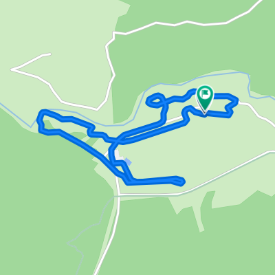 204 Butts Rd, Steelville to 204 Butts Rd, Steelville
- Distance
- 2.8 km
- Ascent
- 10 m
- Descent
- 9 m
- Location
- Steelville, Missouri, United States of America
Open it in the app