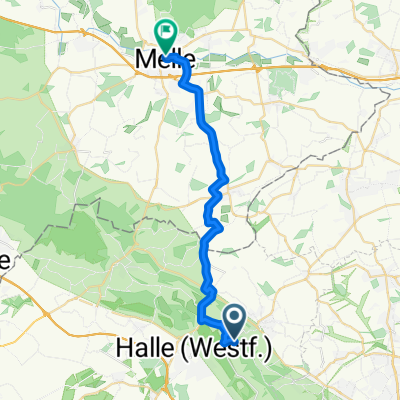
Zuhause-Melle Mitte
- 21.9 km
- 153 m
- 300 m
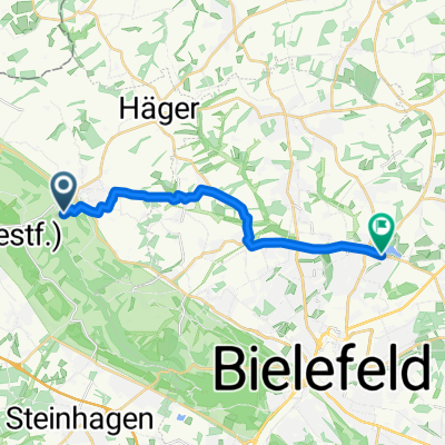
- Werther, North Rhine-Westphalia, Germany
A cycling route starting in Werther, North Rhine-Westphalia, Germany.
Overview
A beautiful tour with varied impressions. Where one can still enjoy the lake at the end!
Route quality
Quiet road
6.5 km
(50 %)
Cycleway
2.9 km
(22 %)
Paved
9.4 km
(72 %)
Asphalt
9.4 km
(72 %)
Undefined
3.7 km
(28 %)
Continue with Bikemap
You would like to ride Obersee Tour or customize it for your own trip? Here is what you can do with this Bikemap route:
Free trial for 3 days, or one-time payment. More about Bikemap Premium.
Discover more Premium features.
Get Bikemap PremiumFrom our community
Open it in the app