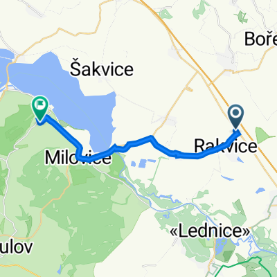
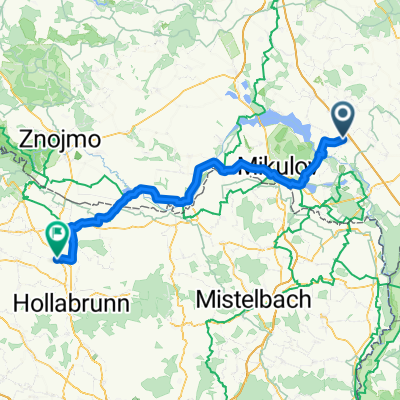
Pálava 2013 3. etapa Rakvice - Hlohovec - Mikulov - Klentnice - Rakvice
A cycling route starting in Rakvice, South Moravian, Czechia.
Overview
About this route
- -:--
- Duration
- 51.8 km
- Distance
- 299 m
- Ascent
- 296 m
- Descent
- ---
- Avg. speed
- ---
- Avg. speed
Route quality
Waytypes & surfaces along the route
Waytypes
Road
22.2 km
(43 %)
Busy road
14.8 km
(29 %)
Surfaces
Paved
35 km
(68 %)
Unpaved
3.9 km
(7 %)
Asphalt
34.6 km
(67 %)
Ground
3.4 km
(7 %)
Route highlights
Points of interest along the route
Point of interest after 14.5 km
Hraniční zámeček
Point of interest after 29.2 km
Mikulov z Kozího hrádku
Point of interest after 37.6 km
Pavlov z Dívčích hradů
Continue with Bikemap
Use, edit, or download this cycling route
You would like to ride Pálava 2013 3. etapa Rakvice - Hlohovec - Mikulov - Klentnice - Rakvice or customize it for your own trip? Here is what you can do with this Bikemap route:
Free features
- Save this route as favorite or in collections
- Copy & plan your own version of this route
- Sync your route with Garmin or Wahoo
Premium features
Free trial for 3 days, or one-time payment. More about Bikemap Premium.
- Navigate this route on iOS & Android
- Export a GPX / KML file of this route
- Create your custom printout (try it for free)
- Download this route for offline navigation
Discover more Premium features.
Get Bikemap PremiumFrom our community
Other popular routes starting in Rakvice
- Do Drnovic na rozhlednu a Brna
- Distance
- 166.5 km
- Ascent
- 837 m
- Descent
- 838 m
- Location
- Rakvice, South Moravian, Czechia
- Lanžhot 2017 - 2.den
- Distance
- 165.7 km
- Ascent
- 322 m
- Descent
- 328 m
- Location
- Rakvice, South Moravian, Czechia
- Pálava 2013 3. etapa Rakvice - Hlohovec - Mikulov - Klentnice - Rakvice
- Distance
- 51.8 km
- Ascent
- 299 m
- Descent
- 296 m
- Location
- Rakvice, South Moravian, Czechia
- Kolem soutoku po hrázi 2016
- Distance
- 94.5 km
- Ascent
- 102 m
- Descent
- 102 m
- Location
- Rakvice, South Moravian, Czechia
- Alpy 2015 trochu inak - deň 1. (skupina A.1)
- Distance
- 79.3 km
- Ascent
- 221 m
- Descent
- 221 m
- Location
- Rakvice, South Moravian, Czechia
- Trasa do Mariánský mlýn 1156/1
- Distance
- 14.4 km
- Ascent
- 226 m
- Descent
- 123 m
- Location
- Rakvice, South Moravian, Czechia
- Z Rakvic na Dunajovické kopce
- Distance
- 72.7 km
- Ascent
- 507 m
- Descent
- 507 m
- Location
- Rakvice, South Moravian, Czechia
- Alpy 2015 trochu inak - deň 2 (skupina A)
- Distance
- 55.7 km
- Ascent
- 546 m
- Descent
- 543 m
- Location
- Rakvice, South Moravian, Czechia
Open it in the app