

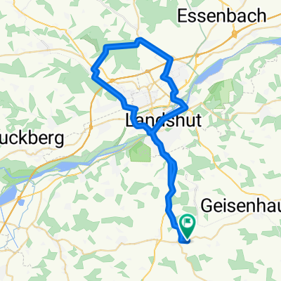
2013 - 3. Tag Altfraunhofen - Wonneberg
A cycling route starting in Altfraunhofen, Bavaria, Germany.
Overview
About this route
- -:--
- Duration
- 95.3 km
- Distance
- 553 m
- Ascent
- 448 m
- Descent
- ---
- Avg. speed
- ---
- Avg. speed
Route quality
Waytypes & surfaces along the route
Waytypes
Quiet road
43 km
(45 %)
Road
28.4 km
(30 %)
Surfaces
Paved
75.6 km
(79 %)
Unpaved
7.9 km
(8 %)
Asphalt
75.1 km
(79 %)
Gravel
4.6 km
(5 %)
Continue with Bikemap
Use, edit, or download this cycling route
You would like to ride 2013 - 3. Tag Altfraunhofen - Wonneberg or customize it for your own trip? Here is what you can do with this Bikemap route:
Free features
- Save this route as favorite or in collections
- Copy & plan your own version of this route
- Split it into stages to create a multi-day tour
- Sync your route with Garmin or Wahoo
Premium features
Free trial for 3 days, or one-time payment. More about Bikemap Premium.
- Navigate this route on iOS & Android
- Export a GPX / KML file of this route
- Create your custom printout (try it for free)
- Download this route for offline navigation
Discover more Premium features.
Get Bikemap PremiumFrom our community
Other popular routes starting in Altfraunhofen
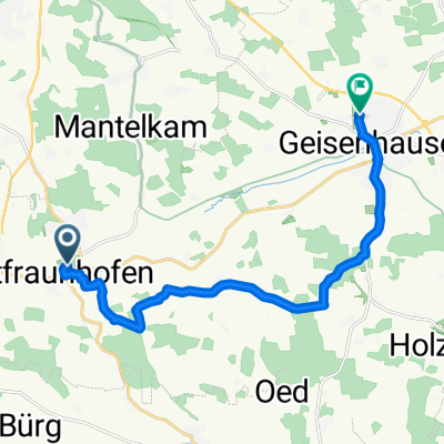 Schlosscafe A. nach Geisenhausen
- Distance
- 12.6 km
- Ascent
- 148 m
- Descent
- 144 m
- Location
- Altfraunhofen, Bavaria, Germany
 Permanente RTF "Durch die Landkreise" - Team Baier
- Distance
- 89.2 km
- Ascent
- 516 m
- Descent
- 526 m
- Location
- Altfraunhofen, Bavaria, Germany
 Altfraunhofen, Altdorf, Pfettrach, Ergolding, Altfraunhofen
- Distance
- 48.7 km
- Ascent
- 398 m
- Descent
- 438 m
- Location
- Altfraunhofen, Bavaria, Germany
 SvL_Umgehung_ED2
- Distance
- 39.4 km
- Ascent
- 331 m
- Descent
- 349 m
- Location
- Altfraunhofen, Bavaria, Germany
 2013 - 3. Tag Altfraunhofen - Wonneberg
- Distance
- 95.3 km
- Ascent
- 553 m
- Descent
- 448 m
- Location
- Altfraunhofen, Bavaria, Germany
 Untersteppach-Geisenhausen
- Distance
- 15.5 km
- Ascent
- 191 m
- Descent
- 215 m
- Location
- Altfraunhofen, Bavaria, Germany
 Altfraunhofen Radfahren
- Distance
- 30.8 km
- Ascent
- 260 m
- Descent
- 232 m
- Location
- Altfraunhofen, Bavaria, Germany
 Taufkirchen-Veldener-Holzhausen
- Distance
- 52.9 km
- Ascent
- 210 m
- Descent
- 210 m
- Location
- Altfraunhofen, Bavaria, Germany
Open it in the app