

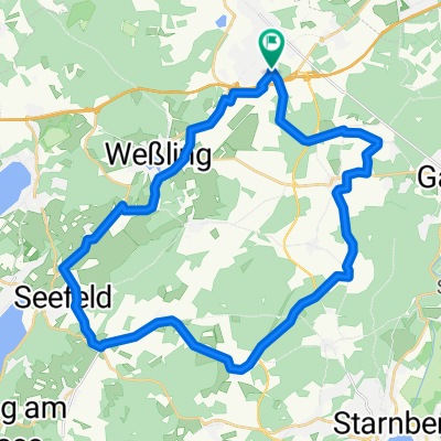
Gilching-Ammersee-Peißenberg CLONED FROM ROUTE 382143
A cycling route starting in Gilching, Bavaria, Germany.
Overview
About this route
- -:--
- Duration
- 134.1 km
- Distance
- 731 m
- Ascent
- 731 m
- Descent
- ---
- Avg. speed
- ---
- Max. altitude
Route quality
Waytypes & surfaces along the route
Waytypes
Road
40.2 km
(30 %)
Quiet road
25.5 km
(19 %)
Surfaces
Paved
120.7 km
(90 %)
Unpaved
2.7 km
(2 %)
Asphalt
118 km
(88 %)
Paved (undefined)
2.7 km
(2 %)
Continue with Bikemap
Use, edit, or download this cycling route
You would like to ride Gilching-Ammersee-Peißenberg CLONED FROM ROUTE 382143 or customize it for your own trip? Here is what you can do with this Bikemap route:
Free features
- Save this route as favorite or in collections
- Copy & plan your own version of this route
- Split it into stages to create a multi-day tour
- Sync your route with Garmin or Wahoo
Premium features
Free trial for 3 days, or one-time payment. More about Bikemap Premium.
- Navigate this route on iOS & Android
- Export a GPX / KML file of this route
- Create your custom printout (try it for free)
- Download this route for offline navigation
Discover more Premium features.
Get Bikemap PremiumFrom our community
Other popular routes starting in Gilching
 Gilching Südrunde
- Distance
- 33.7 km
- Ascent
- 199 m
- Descent
- 196 m
- Location
- Gilching, Bavaria, Germany
 Gilching-Feldafing-Andechs 63km
- Distance
- 63.7 km
- Ascent
- 359 m
- Descent
- 354 m
- Location
- Gilching, Bavaria, Germany
 St2068 nach Grünsinker Straße
- Distance
- 12.1 km
- Ascent
- 63 m
- Descent
- 69 m
- Location
- Gilching, Bavaria, Germany
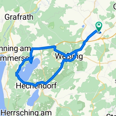 Gilching Wörthsee
- Distance
- 34.5 km
- Ascent
- 311 m
- Descent
- 311 m
- Location
- Gilching, Bavaria, Germany
 1. Grob ums Fünf-Seen-Land
- Distance
- 225.8 km
- Ascent
- 1,040 m
- Descent
- 1,040 m
- Location
- Gilching, Bavaria, Germany
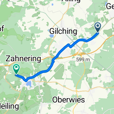
 Gilching nach Neuaubing
- Distance
- 15.2 km
- Ascent
- 77 m
- Descent
- 100 m
- Location
- Gilching, Bavaria, Germany
 um Starnberger See
- Distance
- 79.3 km
- Ascent
- 410 m
- Descent
- 410 m
- Location
- Gilching, Bavaria, Germany
 Gilching-Ammersee-Peißenberg CLONED FROM ROUTE 382143
- Distance
- 134.1 km
- Ascent
- 731 m
- Descent
- 731 m
- Location
- Gilching, Bavaria, Germany
Open it in the app