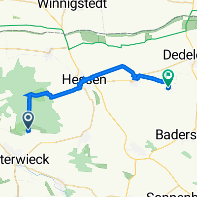
Ausfahrt durch Osterwieck
- 20.2 km
- 218 m
- 219 m
- Osterwieck, Saxony-Anhalt, Germany
A cycling route starting in Osterwieck, Saxony-Anhalt, Germany.
Overview
Start is in Osterwieck towards Wernigerode. This is a flat warm-up for this day tour. Through Hasserode and towards Mönchsbuche. This is a steep section on a fairly wide gravel path. Afterwards, it continues on good forest paths/hiking trails at an approximately constant height until a viewpoint at the Eckertal reservoir. Just before the Eckertal dam, the path gets very rough for about 300m. I advise dismounting here. From the Eckertal dam, it's very steep downhill for about 2-3km on a very wide clay path (caution, very slippery/slippery when wet!!!). Just before Molkenhaus, caution is required when taking the right path. The path all the way to the right goes down. This is the path along the Ecker. Now it gradually descends down to Stapelburg. Notable points up to Stapelburg include Alsburg and the Käsewieter bridge.
created this 13 years ago
Continue with Bikemap
You would like to ride Osterwieck - Wernigerode - Eckertalsperre - Osterwieck or customize it for your own trip? Here is what you can do with this Bikemap route:
Free trial for 3 days, or one-time payment. More about Bikemap Premium.
Discover more Premium features.
Get Bikemap PremiumFrom our community
Open it in the app