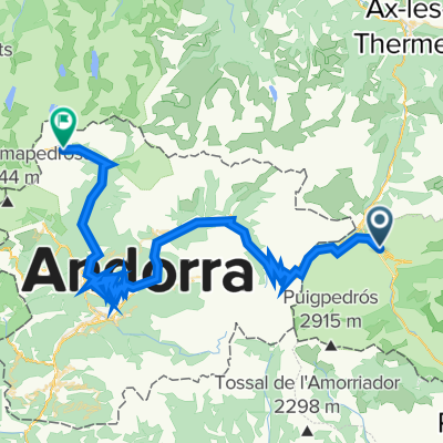
Tarascon-sur-Ariège - Font-Romeu
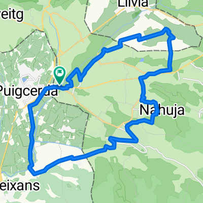
A cycling route starting in la Guingueta d'Ix, Languedoc-Roussillon-Midi-Pyrénées, France.
Overview
About this route
- -:--
- Duration
- 203.3 km
- Distance
- 3,181 m
- Ascent
- 4,569 m
- Descent
- ---
- Avg. speed
- ---
- Avg. speed
Route quality
Waytypes & surfaces along the route
Waytypes
Busy road
140.2 km
(69 %)
Road
29.2 km
(14 %)
Surfaces
Paved
138.1 km
(68 %)
Unpaved
13.4 km
(7 %)
Asphalt
138 km
(68 %)
Ground
11.2 km
(5 %)
Route highlights
Points of interest along the route
Point of interest after 49.6 km
Col de Puymorens
Point of interest after 98.8 km
Port de Pailhères
Point of interest after 146.7 km
Col du Pradel
Point of interest after 164.3 km
Col du Chioula
Continue with Bikemap
Use, edit, or download this cycling route
You would like to ride Tarascon-sur-Ariège - Font-Romeu or customize it for your own trip? Here is what you can do with this Bikemap route:
Free features
- Save this route as favorite or in collections
- Copy & plan your own version of this route
- Sync your route with Garmin or Wahoo
Premium features
Free trial for 3 days, or one-time payment. More about Bikemap Premium.
- Navigate this route on iOS & Android
- Export a GPX / KML file of this route
- Create your custom printout (try it for free)
- Download this route for offline navigation
Discover more Premium features.
Get Bikemap PremiumFrom our community
Other popular routes starting in la Guingueta d'Ix
- Toulouges - Font-Romeu / Mollera del Clots
- Distance
- 206.9 km
- Ascent
- 2,752 m
- Descent
- 4,754 m
- Location
- la Guingueta d'Ix, Languedoc-Roussillon-Midi-Pyrénées, France
- TDP - ETAPE 13
- Distance
- 73.6 km
- Ascent
- 867 m
- Descent
- 1,511 m
- Location
- la Guingueta d'Ix, Languedoc-Roussillon-Midi-Pyrénées, France
- El Palheres
- Distance
- 138.4 km
- Ascent
- 2,806 m
- Descent
- 2,803 m
- Location
- la Guingueta d'Ix, Languedoc-Roussillon-Midi-Pyrénées, France
- puigcerdà-la seu-la noguera- aneu-aran-pirineu frança-puigcerdà
- Distance
- 448.7 km
- Ascent
- 6,371 m
- Descent
- 6,368 m
- Location
- la Guingueta d'Ix, Languedoc-Roussillon-Midi-Pyrénées, France
- Tarascon-sur-Ariège - Font-Romeu
- Distance
- 203.3 km
- Ascent
- 3,181 m
- Descent
- 4,569 m
- Location
- la Guingueta d'Ix, Languedoc-Roussillon-Midi-Pyrénées, France
- Puigcerda-Masella-Molina-Palau-Puigcerda
- Distance
- 53.1 km
- Ascent
- 1,327 m
- Descent
- 1,323 m
- Location
- la Guingueta d'Ix, Languedoc-Roussillon-Midi-Pyrénées, France
- Primera salida
- Distance
- 24.3 km
- Ascent
- 261 m
- Descent
- 261 m
- Location
- la Guingueta d'Ix, Languedoc-Roussillon-Midi-Pyrénées, France
- Collada de Toses des de Llívia
- Distance
- 64.1 km
- Ascent
- 869 m
- Descent
- 869 m
- Location
- la Guingueta d'Ix, Languedoc-Roussillon-Midi-Pyrénées, France
Open it in the app