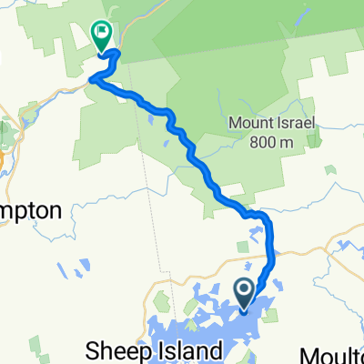
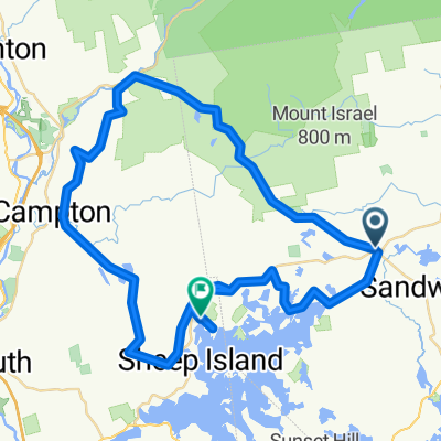
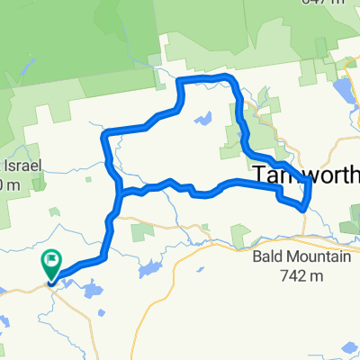
Sandwich, NH
A cycling route starting in Sandwich, New Hampshire, United States.
Overview
About this route
Sites include:
"Top of the World"
"North Sandwich"
"Booty Family Farm"
"Center Sandwich"
"Niobe"Â "The Great Wall of Sandwich"
"Little Pond"
- -:--
- Duration
- 25.1 km
- Distance
- 427 m
- Ascent
- 427 m
- Descent
- ---
- Avg. speed
- ---
- Max. altitude
Route quality
Waytypes & surfaces along the route
Waytypes
Quiet road
18.5 km
(74 %)
Busy road
5 km
(20 %)
Surfaces
Paved
17.4 km
(69 %)
Unpaved
6.3 km
(25 %)
Asphalt
17.4 km
(69 %)
Ground
6.3 km
(25 %)
Undefined
1.4 km
(5 %)
Continue with Bikemap
Use, edit, or download this cycling route
You would like to ride Sandwich, NH or customize it for your own trip? Here is what you can do with this Bikemap route:
Free features
- Save this route as favorite or in collections
- Copy & plan your own version of this route
- Sync your route with Garmin or Wahoo
Premium features
Free trial for 3 days, or one-time payment. More about Bikemap Premium.
- Navigate this route on iOS & Android
- Export a GPX / KML file of this route
- Create your custom printout (try it for free)
- Download this route for offline navigation
Discover more Premium features.
Get Bikemap PremiumFrom our community
Other popular routes starting in Sandwich
- Sandwich, NH
- Distance
- 25.1 km
- Ascent
- 427 m
- Descent
- 427 m
- Location
- Sandwich, New Hampshire, United States
- Maple Street to Church Street
- Distance
- 48 km
- Ascent
- 772 m
- Descent
- 768 m
- Location
- Sandwich, New Hampshire, United States
- RDC to Center Sandwich to Campton and back over Mt Rd
- Distance
- 73 km
- Ascent
- 1,581 m
- Descent
- 1,595 m
- Location
- Sandwich, New Hampshire, United States
- Long Point Road to Upper Mad River Road
- Distance
- 22.3 km
- Ascent
- 529 m
- Descent
- 382 m
- Location
- Sandwich, New Hampshire, United States
Open it in the app