Haßberg-Metropolen
- 70.8 km
- 479 m
- 453 m
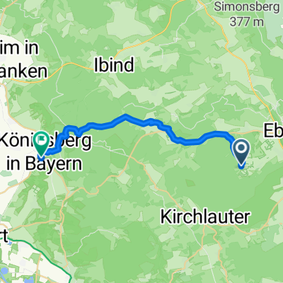
- Rentweinsdorf, Bavaria, Germany
A cycling route starting in Rentweinsdorf, Bavaria, Germany.
Overview
The more you write here, the more helpful it is for other users.* Route overview.* Why do you like this route?* Why do you recommend it?* What are the highlights?* etc.
created this 16 years ago
Route quality
Road
18.4 km
(26 %)
Path
6.4 km
(9 %)
Paved
55.9 km
(79 %)
Unpaved
4.2 km
(6 %)
Asphalt
54.5 km
(77 %)
Unpaved (undefined)
2.1 km
(3 %)
Continue with Bikemap
You would like to ride Haßberg-Metropolen or customize it for your own trip? Here is what you can do with this Bikemap route:
Free trial for 3 days, or one-time payment. More about Bikemap Premium.
Discover more Premium features.
Get Bikemap PremiumFrom our community
Open it in the app