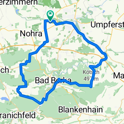
Weimar - Halle CLONED FROM ROUTE 332382
A cycling route starting in Hopfgarten, Thuringia, Germany.
Overview
About this route
auf dem Ilm-Radweg und dem Saale-Radweg von Weimar nach Halle
- -:--
- Duration
- 116.5 km
- Distance
- 136 m
- Ascent
- 288 m
- Descent
- ---
- Avg. speed
- ---
- Max. altitude
Route quality
Waytypes & surfaces along the route
Waytypes
Quiet road
31.4 km
(27 %)
Path
27.9 km
(24 %)
Surfaces
Paved
102.5 km
(88 %)
Unpaved
3.5 km
(3 %)
Asphalt
96.7 km
(83 %)
Concrete
3.5 km
(3 %)
Continue with Bikemap
Use, edit, or download this cycling route
You would like to ride Weimar - Halle CLONED FROM ROUTE 332382 or customize it for your own trip? Here is what you can do with this Bikemap route:
Free features
- Save this route as favorite or in collections
- Copy & plan your own version of this route
- Split it into stages to create a multi-day tour
- Sync your route with Garmin or Wahoo
Premium features
Free trial for 3 days, or one-time payment. More about Bikemap Premium.
- Navigate this route on iOS & Android
- Export a GPX / KML file of this route
- Create your custom printout (try it for free)
- Download this route for offline navigation
Discover more Premium features.
Get Bikemap PremiumFrom our community
Other popular routes starting in Hopfgarten
Nordwestlich von Weimar mit Ettersberg- Distance
- 30.1 km
- Ascent
- 357 m
- Descent
- 357 m
- Location
- Hopfgarten, Thuringia, Germany
Nördlich von Weimar- Distance
- 31.2 km
- Ascent
- 312 m
- Descent
- 173 m
- Location
- Hopfgarten, Thuringia, Germany
Weimar - Halle CLONED FROM ROUTE 332382- Distance
- 116.5 km
- Ascent
- 136 m
- Descent
- 288 m
- Location
- Hopfgarten, Thuringia, Germany
Gaberndorf-Bad Sulza-Gaberndorf- Distance
- 70.3 km
- Ascent
- 437 m
- Descent
- 437 m
- Location
- Hopfgarten, Thuringia, Germany
Anbiken 2010- Distance
- 23.6 km
- Ascent
- 177 m
- Descent
- 169 m
- Location
- Hopfgarten, Thuringia, Germany
03042010 MB Training- Distance
- 50.3 km
- Ascent
- 698 m
- Descent
- 735 m
- Location
- Hopfgarten, Thuringia, Germany
Rund um Erfurt mit dem MTB- Distance
- 90.4 km
- Ascent
- 439 m
- Descent
- 435 m
- Location
- Hopfgarten, Thuringia, Germany
Weimar - Kahla (Leuchtenburg- Distance
- 91.1 km
- Ascent
- 752 m
- Descent
- 752 m
- Location
- Hopfgarten, Thuringia, Germany
Open it in the app


