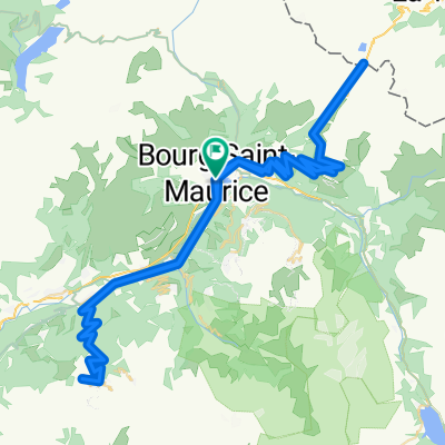
Day 8 - Bourg Saint Maurice, Iseran - 94 Km / 2300 m
- 94.2 km
- 2,989 m
- 2,990 m
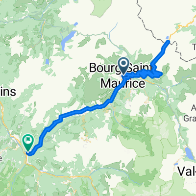
- Bourg-Saint-Maurice, Auvergne-Rhône-Alpes, France
A cycling route starting in Bourg-Saint-Maurice, Auvergne-Rhône-Alpes, France.
Overview
created this 13 years ago
Route quality
Road
38.5 km
(20 %)
Quiet road
3.8 km
(2 %)
Paved
163.5 km
(85 %)
Unpaved
1.9 km
(1 %)
Asphalt
163.5 km
(85 %)
Gravel
1.9 km
(1 %)
Undefined
26.9 km
(14 %)
Route highlights
Cormet de Roselend 1967 m 1ère Cat.
Col des Saisies 1657 m 1ère Cat.
Col des Aravis 1486 m 2ème Cat.
Col de la Colombière 1613 m 1ère Cat.
Col de Joux Plane 1691 m Hors Cat.
Avoriaz 1820 m 1ère Cat.
Continue with Bikemap
You would like to ride Bourg-Saint-Maurice - Avoriaz or customize it for your own trip? Here is what you can do with this Bikemap route:
Free trial for 3 days, or one-time payment. More about Bikemap Premium.
Discover more Premium features.
Get Bikemap PremiumFrom our community
Open it in the app