stockstadt
- 54.7 km
- 27 m
- 29 m
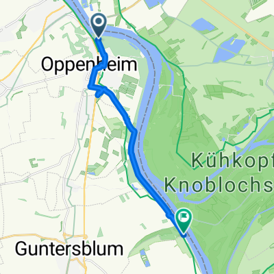
- Oppenheim, Rhineland-Palatinate, Germany
A cycling route starting in Oppenheim, Rhineland-Palatinate, Germany.
Overview
created this 16 years ago
Route highlights

So Die Tour Kann beginnen!

Ich krieg dich


Zug Seil Auto

cool Wasser:-)

Die Fähre zum kükopf

Ein Trockenes flussbett

Zwischen stop


Was für ein Boot!


Goldich


Ach wie süß zwei Radler

Ob das noch dicht ist????


PAUSE

Essen!


Continue with Bikemap
You would like to ride stockstadt or customize it for your own trip? Here is what you can do with this Bikemap route:
Free trial for 3 days, or one-time payment. More about Bikemap Premium.
Discover more Premium features.
Get Bikemap PremiumFrom our community
Open it in the app