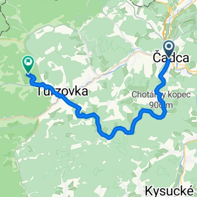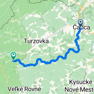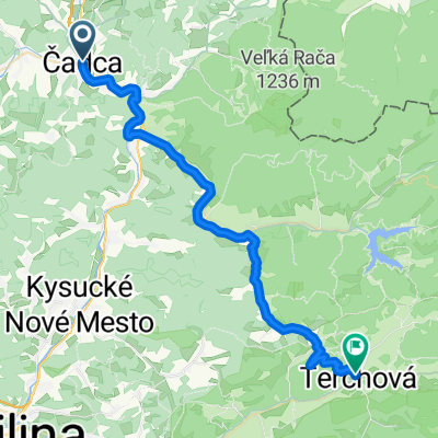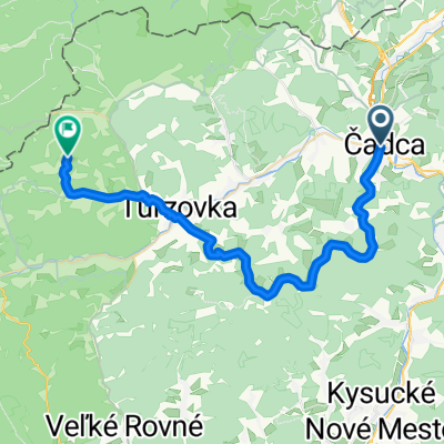
CA- Chot.kopec- Turzovka- Korňa- Šlahorka
- 34.8 km
- 1,271 m
- 991 m
- Čadca, Žilina Region, Slovakia
A cycling route starting in Čadca, Žilina Region, Slovakia.
Overview
The route runs exclusively on paved roads with the destination at Pustevny (1018 m above sea level) with the option to continue to the summit of Radhošť (approx. +4 km), which is the seventh highest mountain in the Moravian-Silesian Beskids (1129 m above sea level).
A suitable place for a break and to replenish nutrients is the village of Bílá.
An alternative to this route is Čadca - Bumbálka - Pustevny, which can be chosen, for example, on the return journey.
Less experienced cyclists can split the trip into two days; there are many accommodation options around Pustevny - either directly at the summit or in the towns below Radhošť (Horní Bečva, Rožnov pod Radhoštěm).
Due to the increased presence of heavy trucks in the Bílá area (or possibly Makov-Bumbálka), I recommend taking the trip in the summer months of July and August, on weekends, when heavy truck traffic on the roads is limited.
created this 13 years ago
Route quality
Road
9.7 km
(17 %)
Quiet road
2.9 km
(5 %)
Paved
34.3 km
(60 %)
Asphalt
34.3 km
(60 %)
Undefined
22.8 km
(40 %)
Route highlights

Drevený kostol sv. Bedřicha z roku 1875.<br> Architektura kostola sa vymyká obvyklým tvarom iných beskydských drevených kostolov.<br> Vysoká a štíhla veža pripomína severskú architektúru.

Horní Bečva je horská obec s nadmorskou výškou v centre 505 m n. m.

Radhošť (1129 m n. m.). Najzápadnejšia tisícovka Moravskoslezských Beskýd.

Pre Pustevny (1018 m n. m.) sú typické drevené stavby postavené v ľudovom slohu koncom 19. storočia. <br> Nachádza sa tu lyžiarske stredisko a vedie sem sedačková lanovka.
Continue with Bikemap
You would like to ride Čadca - Bílá - Pustevny or customize it for your own trip? Here is what you can do with this Bikemap route:
Free trial for 3 days, or one-time payment. More about Bikemap Premium.
Discover more Premium features.
Get Bikemap PremiumFrom our community
Open it in the app