Umgehungsstrasse
A cycling route starting in Sonneberg, Thuringia, Germany.
Overview
About this route
Through the Grund and then up to Wehd. Descent into Hallgrund through Mürschnitz and Bettelhecken rolling onto the bypass road that is still closed to cars towards Höhnbach. Now back up over the Wolkenrassen, crossing the bridge at the station through the city center all the way to the old town.
- -:--
- Duration
- 13.1 km
- Distance
- 159 m
- Ascent
- 159 m
- Descent
- ---
- Avg. speed
- ---
- Max. altitude
Continue with Bikemap
Use, edit, or download this cycling route
You would like to ride Umgehungsstrasse or customize it for your own trip? Here is what you can do with this Bikemap route:
Free features
- Save this route as favorite or in collections
- Copy & plan your own version of this route
- Sync your route with Garmin or Wahoo
Premium features
Free trial for 3 days, or one-time payment. More about Bikemap Premium.
- Navigate this route on iOS & Android
- Export a GPX / KML file of this route
- Create your custom printout (try it for free)
- Download this route for offline navigation
Discover more Premium features.
Get Bikemap PremiumFrom our community
Other popular routes starting in Sonneberg
- Sonneberg-Mitwitz-Sonneberg
- Distance
- 40.5 km
- Ascent
- 298 m
- Descent
- 298 m
- Location
- Sonneberg, Thuringia, Germany
- Generalsblick
- Distance
- 19.3 km
- Ascent
- 323 m
- Descent
- 319 m
- Location
- Sonneberg, Thuringia, Germany
- Luda1 Sonneberg-Schlossberg-Neufang-Sonneberg
- Distance
- 18.1 km
- Ascent
- 406 m
- Descent
- 406 m
- Location
- Sonneberg, Thuringia, Germany
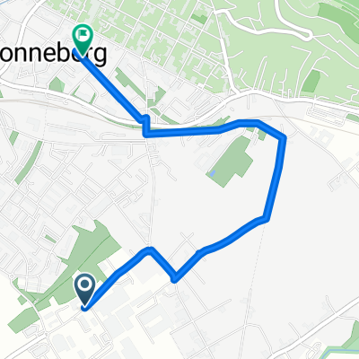
- Sonneberg - okruh valecnych pomniku
- Distance
- 19.4 km
- Ascent
- 395 m
- Descent
- 395 m
- Location
- Sonneberg, Thuringia, Germany
- Huettensteinach_Jagdhof_Stockheim_Schierschnitz_Sonn
- Distance
- 30.4 km
- Ascent
- 395 m
- Descent
- 396 m
- Location
- Sonneberg, Thuringia, Germany
- Mission Windschatten 2. Etappe
- Distance
- 119.1 km
- Ascent
- 1,641 m
- Descent
- 1,701 m
- Location
- Sonneberg, Thuringia, Germany
- Sonneberg-Neustadt-zpet pres Muppberg
- Distance
- 42.5 km
- Ascent
- 280 m
- Descent
- 280 m
- Location
- Sonneberg, Thuringia, Germany
- Thüringer Wald
- Distance
- 28.4 km
- Ascent
- 403 m
- Descent
- 403 m
- Location
- Sonneberg, Thuringia, Germany
Open it in the app