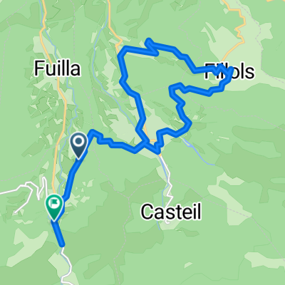
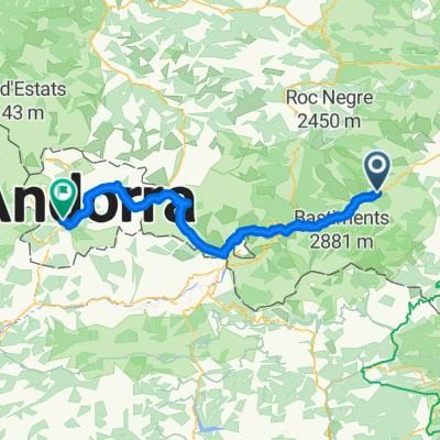
- 3.9 km
- 2,796 m
- 2,793 m
- Vernet-les-Bains, Occitanie, France
Les Garrotxes
A cycling route starting in Vernet-les-Bains, Occitanie, France.
Overview
About this route
HELLO
Here is the detailed route that will be offered as soon as the swallows have returned to us.
Start and finish at Olette station.
- -:--
- Duration
- 60.4 km
- Distance
- 1,463 m
- Ascent
- 1,458 m
- Descent
- ---
- Avg. speed
- ---
- Max. altitude
created this 13 years ago
Route quality
Waytypes & surfaces along the route
Waytypes
Road
53.8 km
(89 %)
Quiet road
0.6 km
(1 %)
Surfaces
Paved
4.2 km
(7 %)
Asphalt
4.2 km
(7 %)
Undefined
56.2 km
(93 %)
Route highlights
Points of interest along the route

Point of interest after 2 km
PRUDENCE

Photo after 4.8 km
THE BIG BOSS

Photo after 7 km
THE BIG PUISSANCE

Point of interest after 10.8 km

Photo after 13 km
THE BIG "NOUS T'ATTENDONS"

Photo after 19.9 km
THE BIG FORCE TRANQUILLE

Point of interest after 23.4 km

Photo after 25.3 km
THE BIG GATANES

Photo after 26.8 km
THE BIG FINISHER

Point of interest after 28.4 km

Photo after 29.5 km
THE BIG MOTIVATION

Photo after 30.9 km
THE BIG "RIEN NE L'ARRETE"

Photo after 32.4 km
THE BIG DETERMINATION

Point of interest after 34.8 km

Photo after 38.4 km
THE BIG COURAGE

Photo after 45.9 km
THE BIG ABNEGATION
Continue with Bikemap
Use, edit, or download this cycling route
You would like to ride Les Garrotxes or customize it for your own trip? Here is what you can do with this Bikemap route:
Free features
- Save this route as favorite or in collections
- Copy & plan your own version of this route
- Sync your route with Garmin or Wahoo
Premium features
Free trial for 3 days, or one-time payment. More about Bikemap Premium.
- Navigate this route on iOS & Android
- Export a GPX / KML file of this route
- Create your custom printout (try it for free)
- Download this route for offline navigation
Discover more Premium features.
Get Bikemap PremiumFrom our community
Other popular routes starting in Vernet-les-Bains
- 20180626 Camí de Menut
- Sahorre to Rue de las Closes, Sahorre
- 19.5 km
- 425 m
- 405 m
- Vernet-les-Bains, Occitanie, France
- Chemin de la Cooperative, Corneilla-de-Conflent à Los Pastorals, Corneilla-de-Conflent
- 27.1 km
- 906 m
- 853 m
- Vernet-les-Bains, Occitanie, France
- Col de Mantet on a Brompton.
- 14.3 km
- 1,119 m
- 51 m
- Vernet-les-Bains, Occitanie, France
- TDP - ETAPE 14
- 73.9 km
- 757 m
- 1,202 m
- Vernet-les-Bains, Occitanie, France
- VTTistes pas touristes 2016 2/4
- 32.9 km
- 1,844 m
- 1,595 m
- Vernet-les-Bains, Occitanie, France
- Stage 4 - Tour de Lads
- 177.3 km
- 982 m
- 1,616 m
- Vernet-les-Bains, Occitanie, France
- Tanspirinaica.1
- 105.3 km
- 2,378 m
- 1,810 m
- Vernet-les-Bains, Occitanie, France
Open it in the app


