Kington, Leominster, Weobley, Marston
- 70.3 km
- 333 m
- 333 m
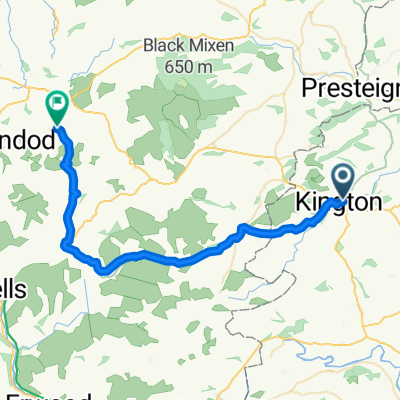
- Kington, England, United Kingdom
A cycling route starting in Kington, England, United Kingdom.
Overview
A lovely long route around the borders.
created this 16 years ago
Route quality
Quiet road
31.5 km
(25 %)
Road
2.5 km
(2 %)
Paved
76.9 km
(61 %)
Asphalt
75.7 km
(60 %)
Paved (undefined)
1.3 km
(1 %)
Undefined
49.2 km
(39 %)
Continue with Bikemap
You would like to ride Kington, Kingsland, Ludlow, Craven Arms, Clun, Llangunllo, Kington or customize it for your own trip? Here is what you can do with this Bikemap route:
Free trial for 3 days, or one-time payment. More about Bikemap Premium.
Discover more Premium features.
Get Bikemap PremiumFrom our community
Open it in the app